Special Drone Services – Infrared Thermal, Orthomosaics and LiDAR
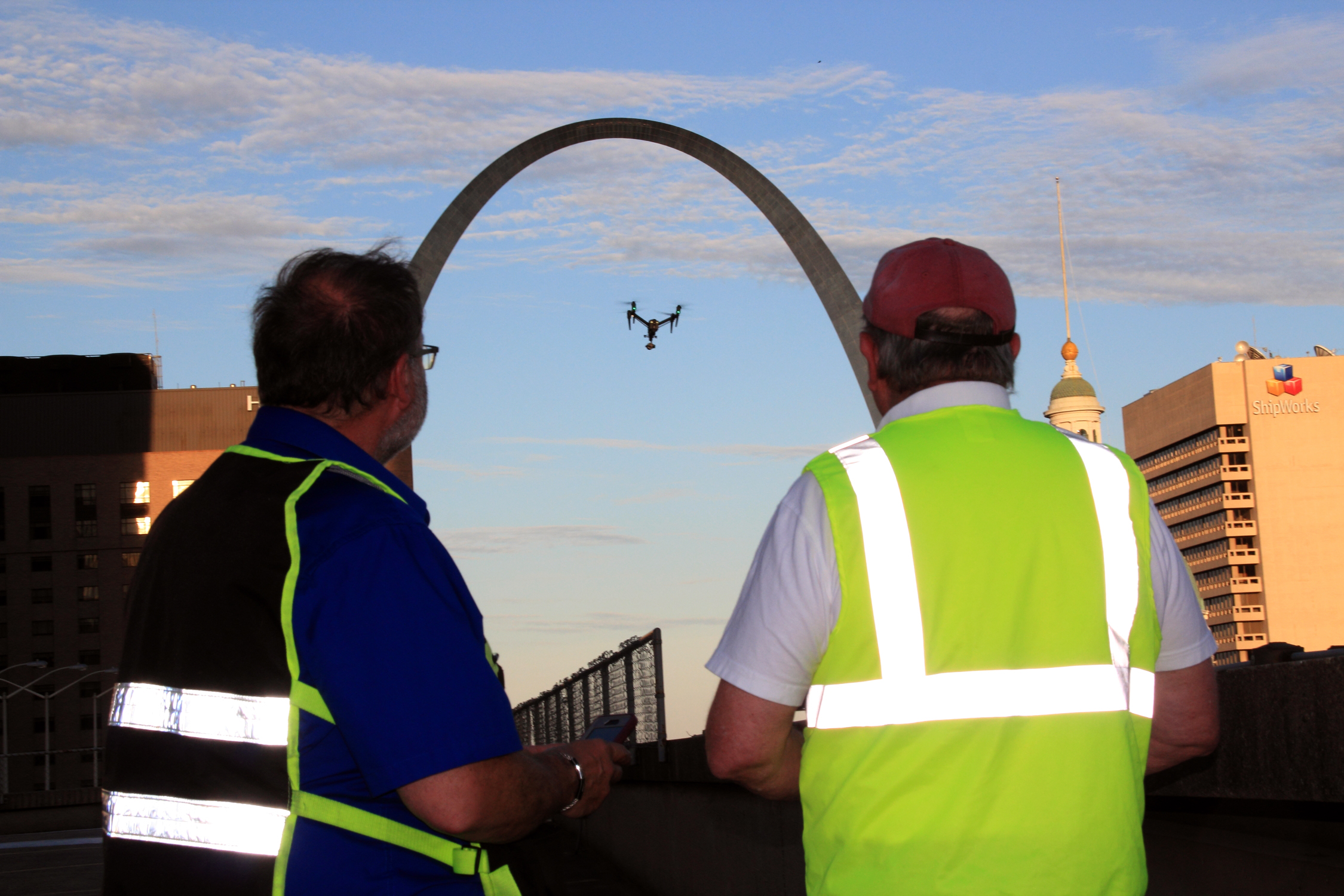
For many organizations, a drone is still seen as a tool for capturing dramatic aerial video. That is certainly part of its value. Aerial footage can elevate a commercial, strengthen a brand story, and give a business a more polished visual presence. But for decision makers responsible for marketing, operations, inspections, development, facilities, or documentation, drone capabilities now extend far beyond cinematic shots.
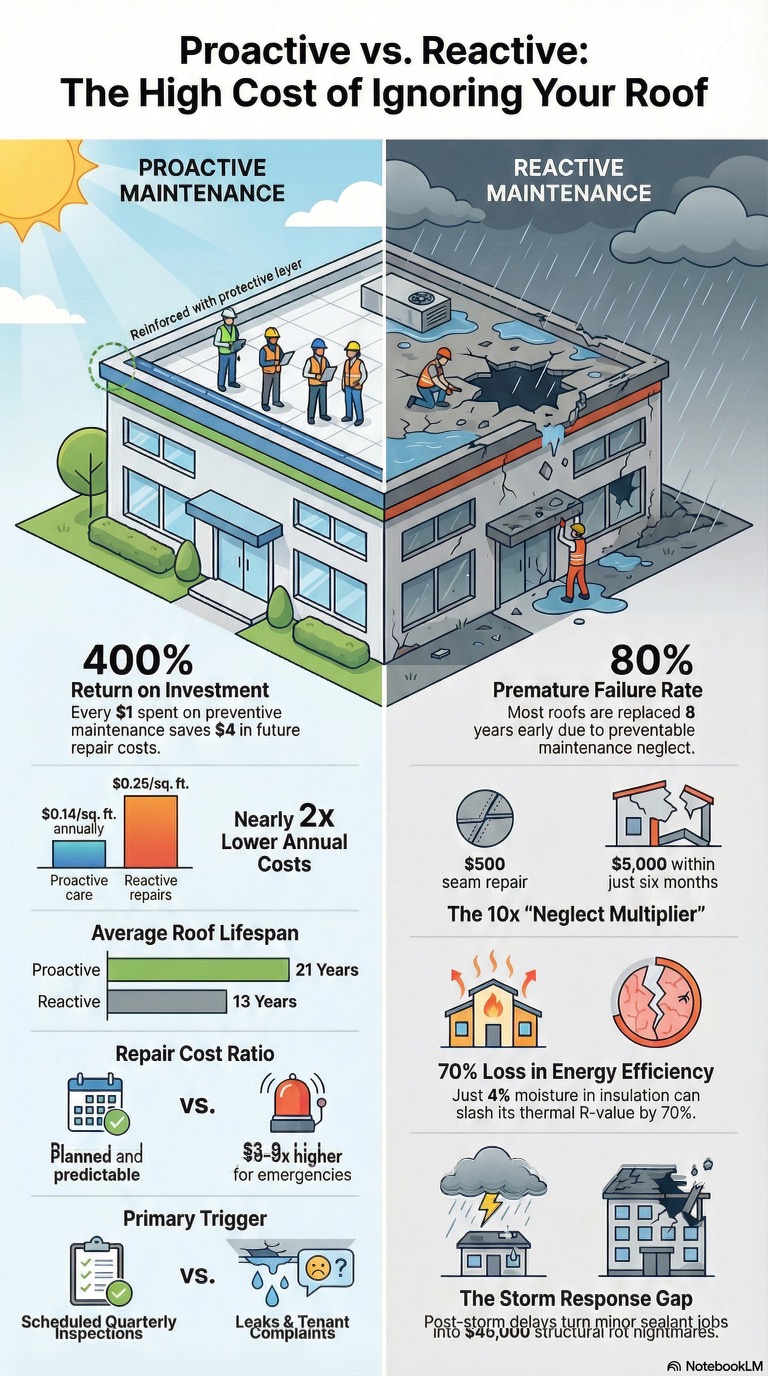
Other drone special services include infrared thermal imaging, orthomosaics, and LiDAR. These specialized applications move drone work from simple image capture into actionable visual intelligence. They can help businesses market properties, document sites, inspect assets, evaluate conditions, support planning, and improve decision-making with accurate visual data.
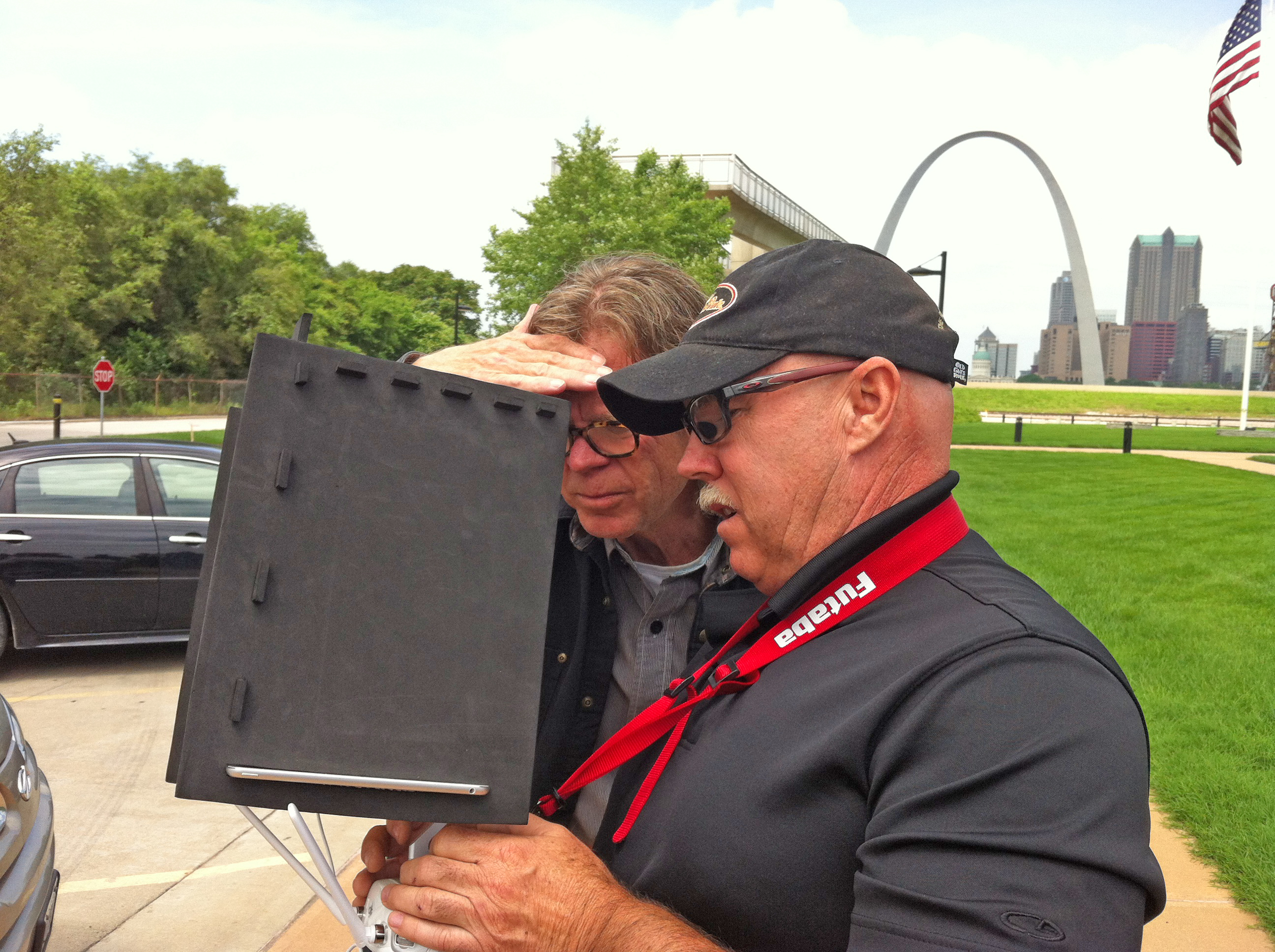
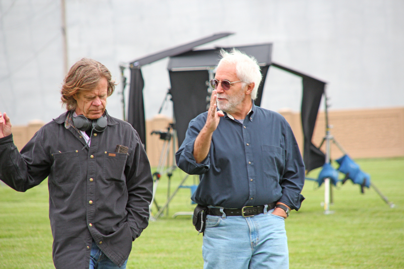
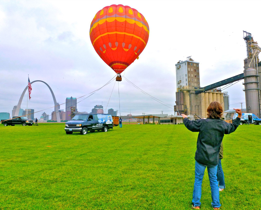
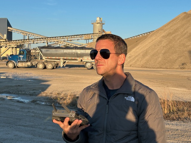
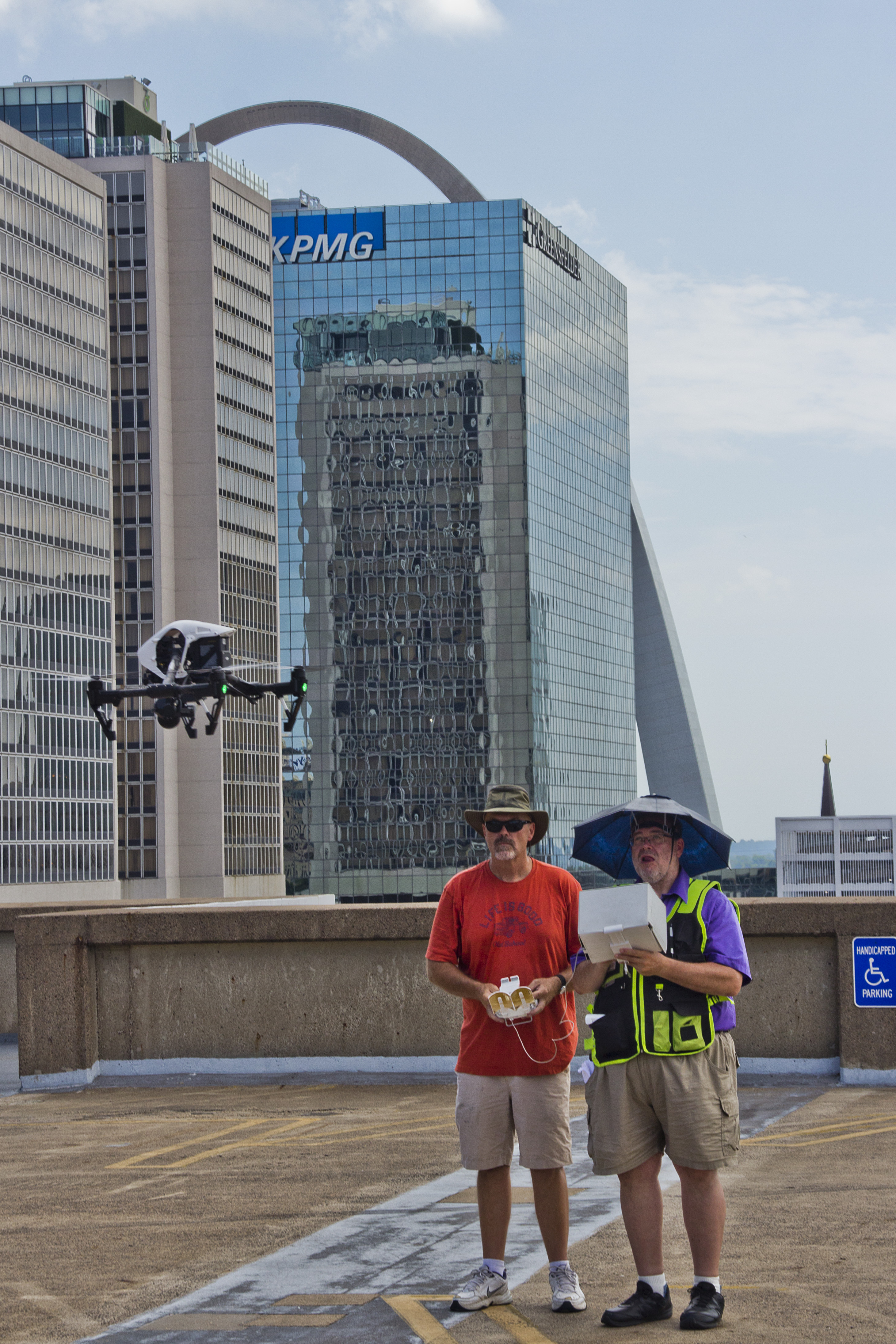
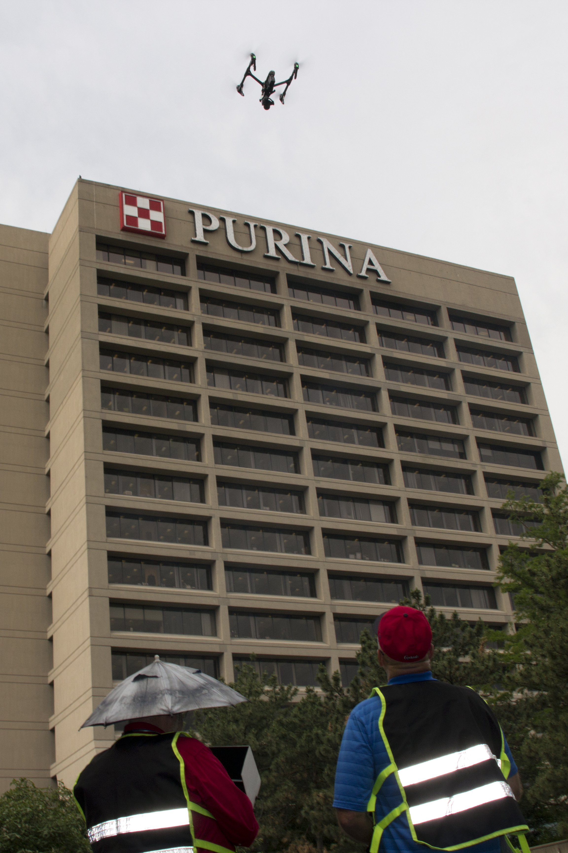
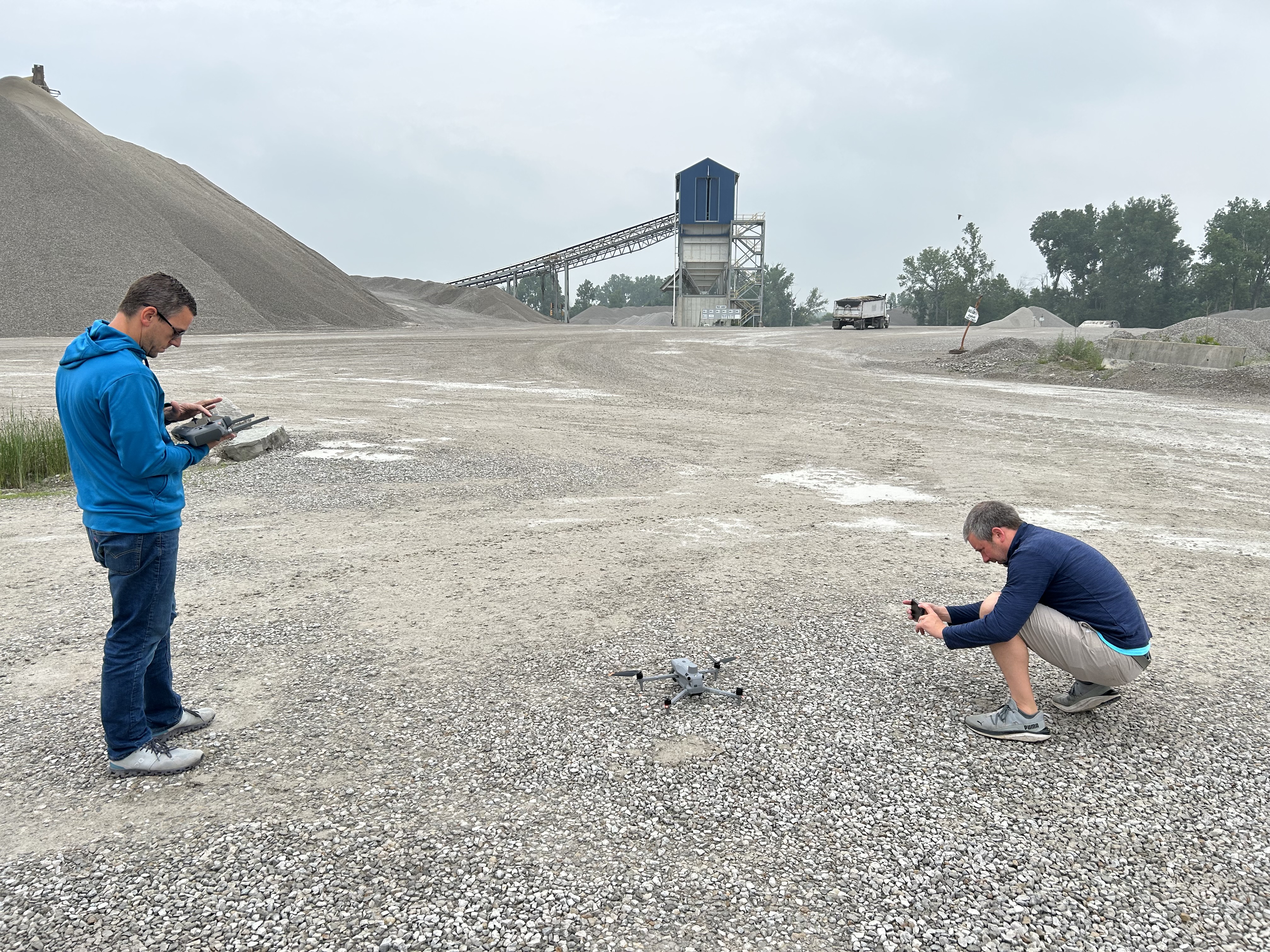
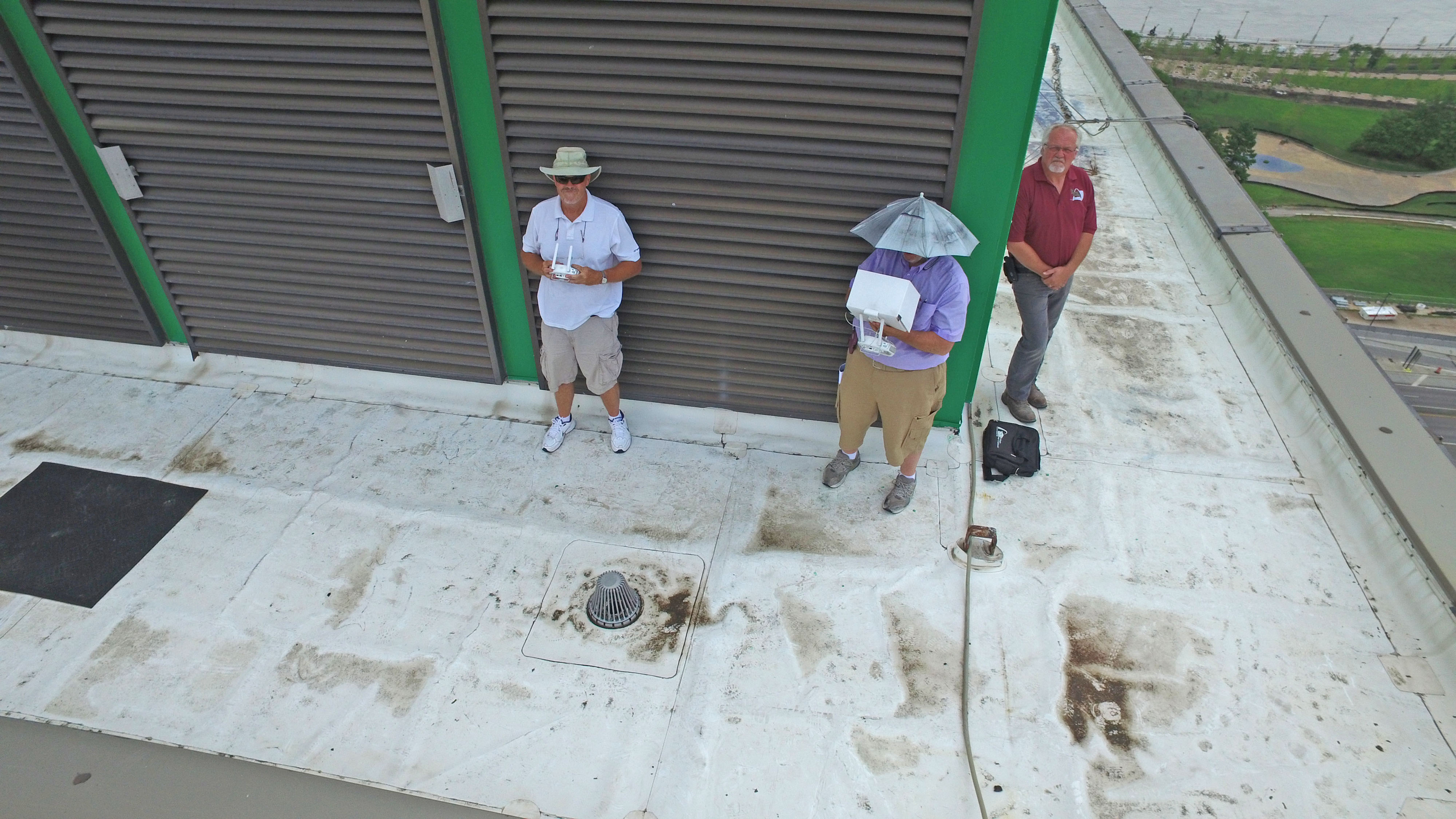
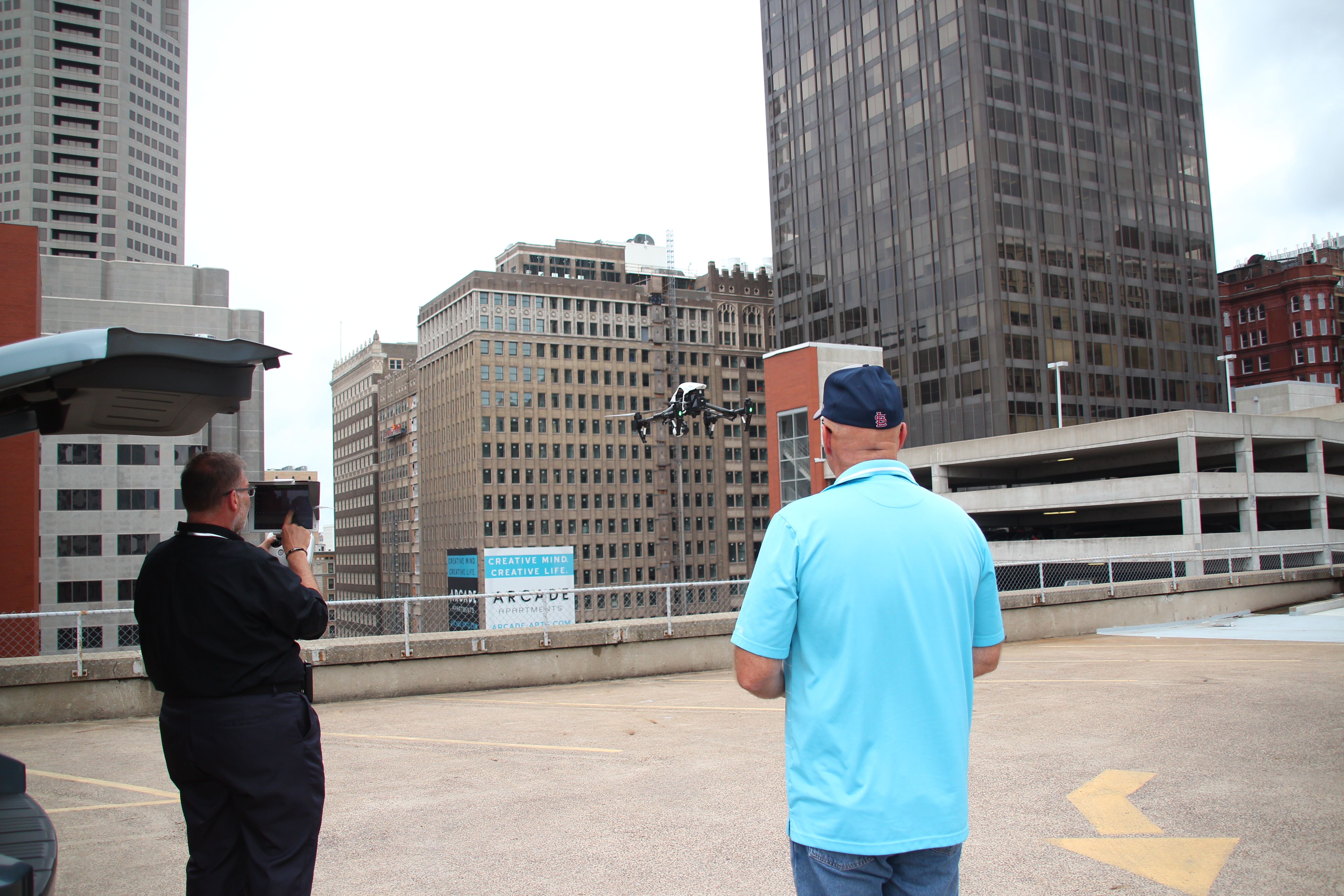
At St Louis Video Crew, we regularly help organizations think beyond standard aerial footage. While we fly drones for commercials and operate specialized FPV drones indoors for dynamic visual storytelling, we also understand how advanced drone services can solve practical business problems and produce highly useful deliverables.
Why Specialized Drone Services Matter
A standard drone video can be impressive. It can establish scale, show access, reveal surroundings, and add production value to a commercial or promotional piece. But specialized drone services are different because they are designed to answer specific questions.
An organization may need to know where heat loss is occurring on a roof. A contractor may need an accurate overhead map of a site. A facility manager may need documentation for drainage patterns, stockpile volumes, land contours, or infrastructure planning. A developer may need data that is more measurable and precise than conventional photography alone can provide.
This is where infrared thermal, orthomosaics, and LiDAR become especially valuable. Each service has its own strengths, and each serves a different purpose depending on the goals of the project.
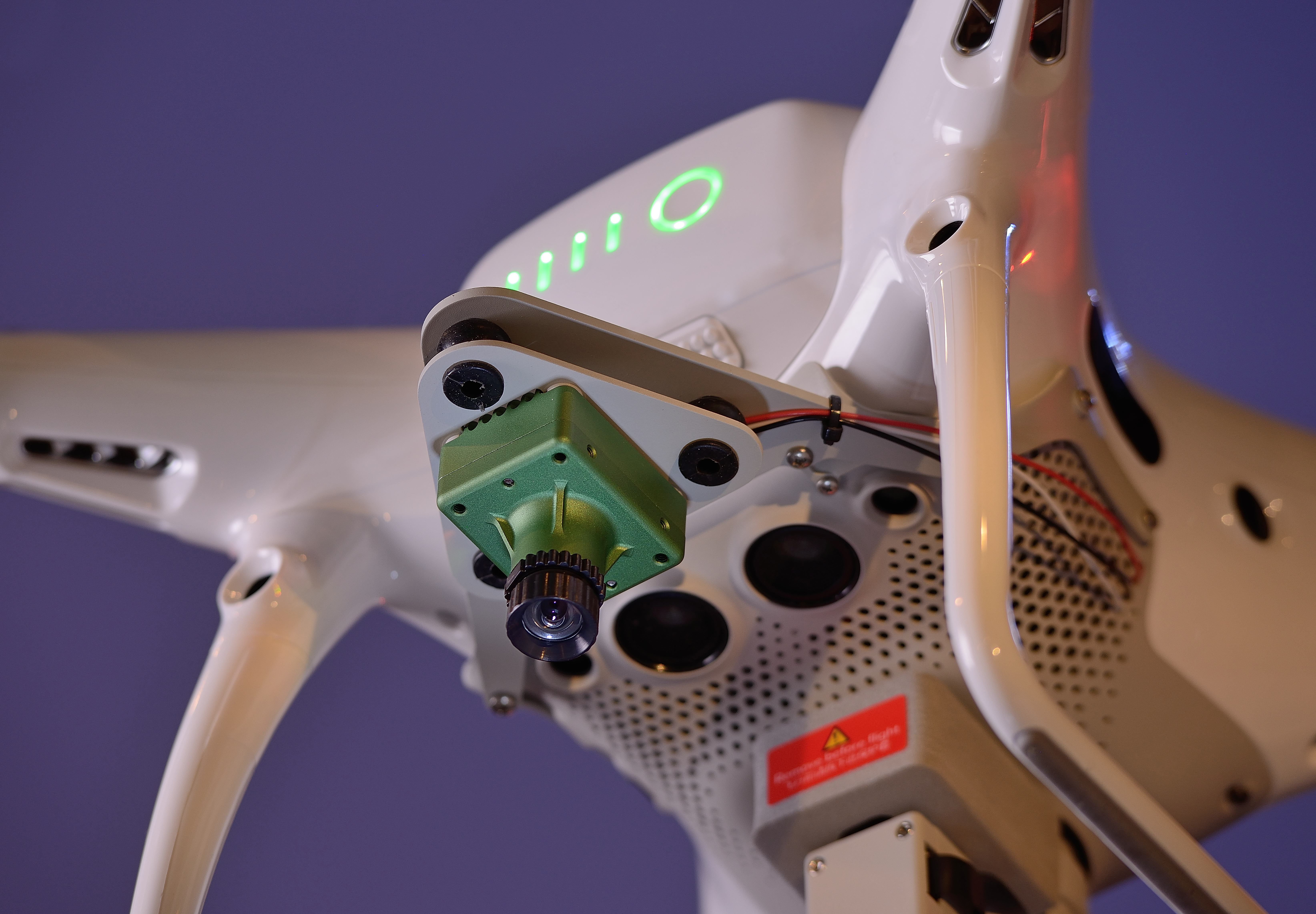
Infrared Thermal Drone Services
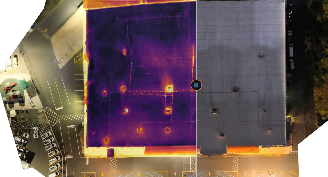
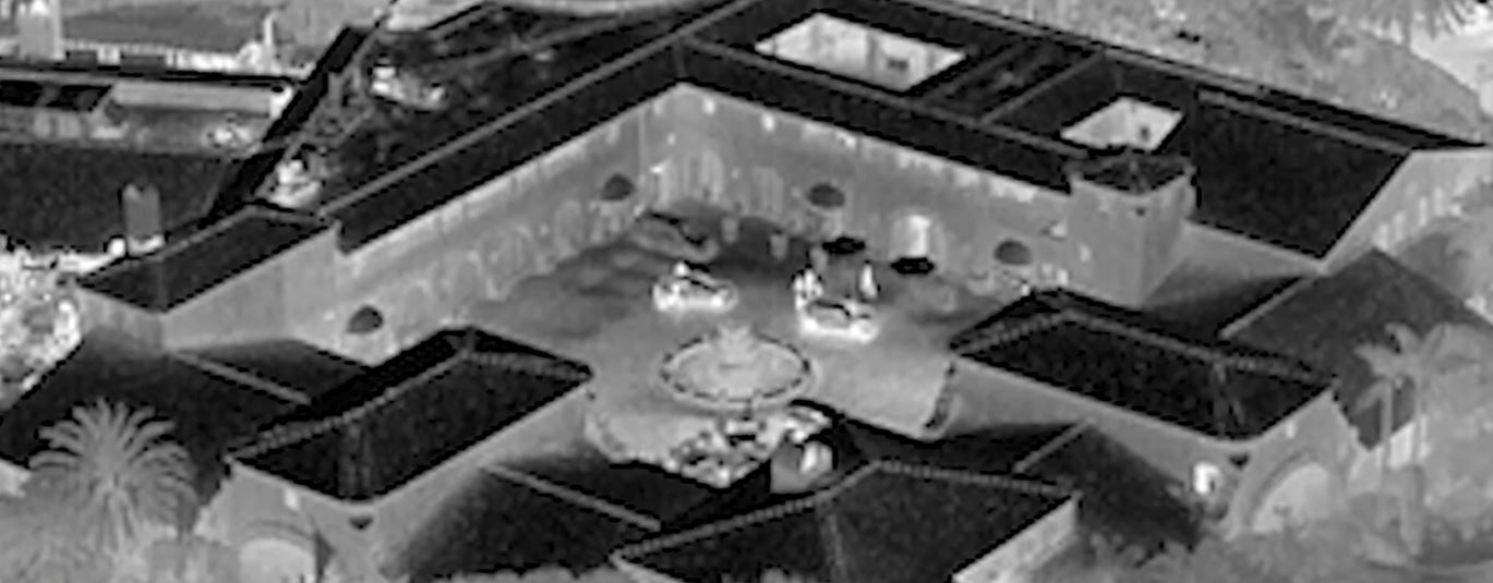
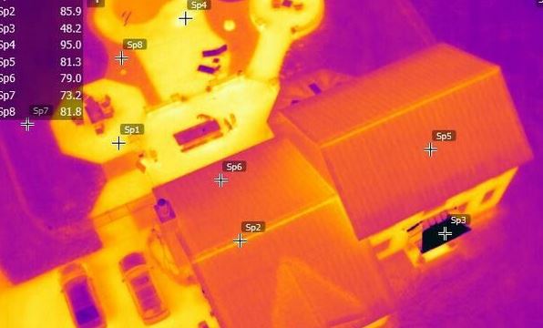
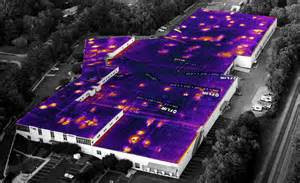
Infrared thermal drone imaging allows a team to see temperature variation across surfaces and structures. Instead of documenting only what appears visible to the eye, thermal imaging can reveal heat signatures and anomalies that may point to hidden issues.
For businesses and organizations, this can be useful in a variety of ways.
Roof and Building Envelope Inspections
Commercial roofs can develop moisture intrusion, insulation failure, or hidden problem areas that are not obvious during a standard visual inspection. Thermal imaging can help identify suspicious temperature differences that may indicate trapped moisture or compromised materials. This gives property managers, building owners, and maintenance teams a more informed starting point for further investigation.
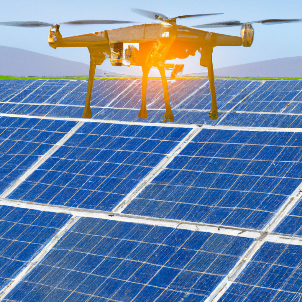
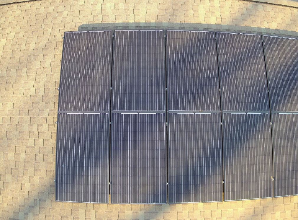
Solar Panel Inspection
Thermal drone services can help identify hot spots, underperforming panels, or connection issues within solar arrays. This makes the technology useful for organizations managing energy infrastructure and trying to maintain performance while minimizing manual inspection time.
Electrical and Mechanical Systems Review
Certain exterior electrical components or mechanical systems can sometimes be evaluated thermally to detect overheating or unusual temperature behavior. This can be useful in industrial or institutional settings where prevention and maintenance matter.
Marketing and Communication Value
Thermal imaging is also visually compelling. In the right context, it can support case studies, engineering presentations, public education, investor communications, or branded content. For companies in construction, energy, manufacturing, utilities, roofing, and building sciences, thermal visuals can help explain expertise in a clear and persuasive way.
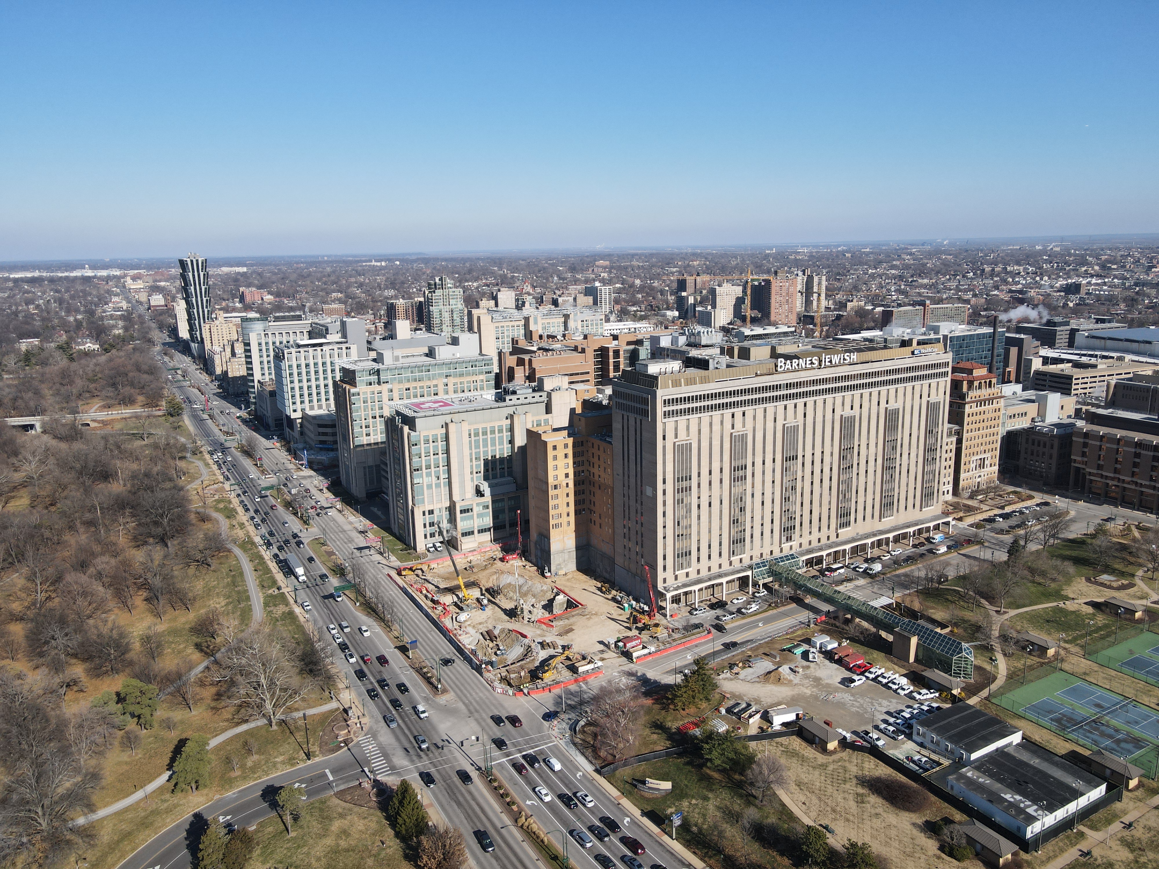
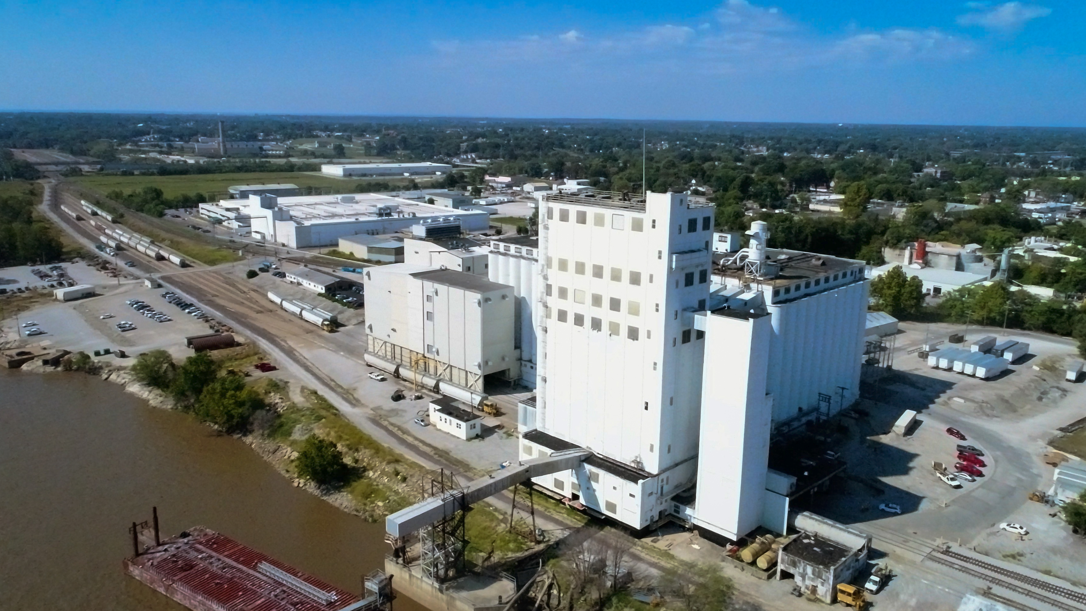
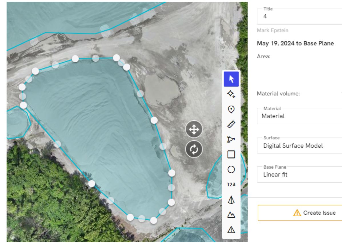
Orthomosaic Drone Services
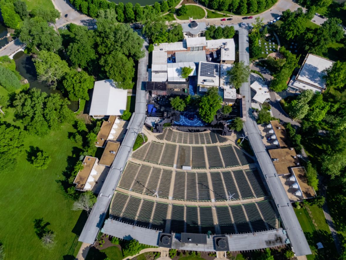
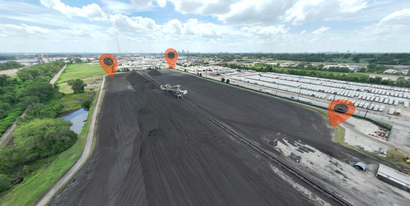
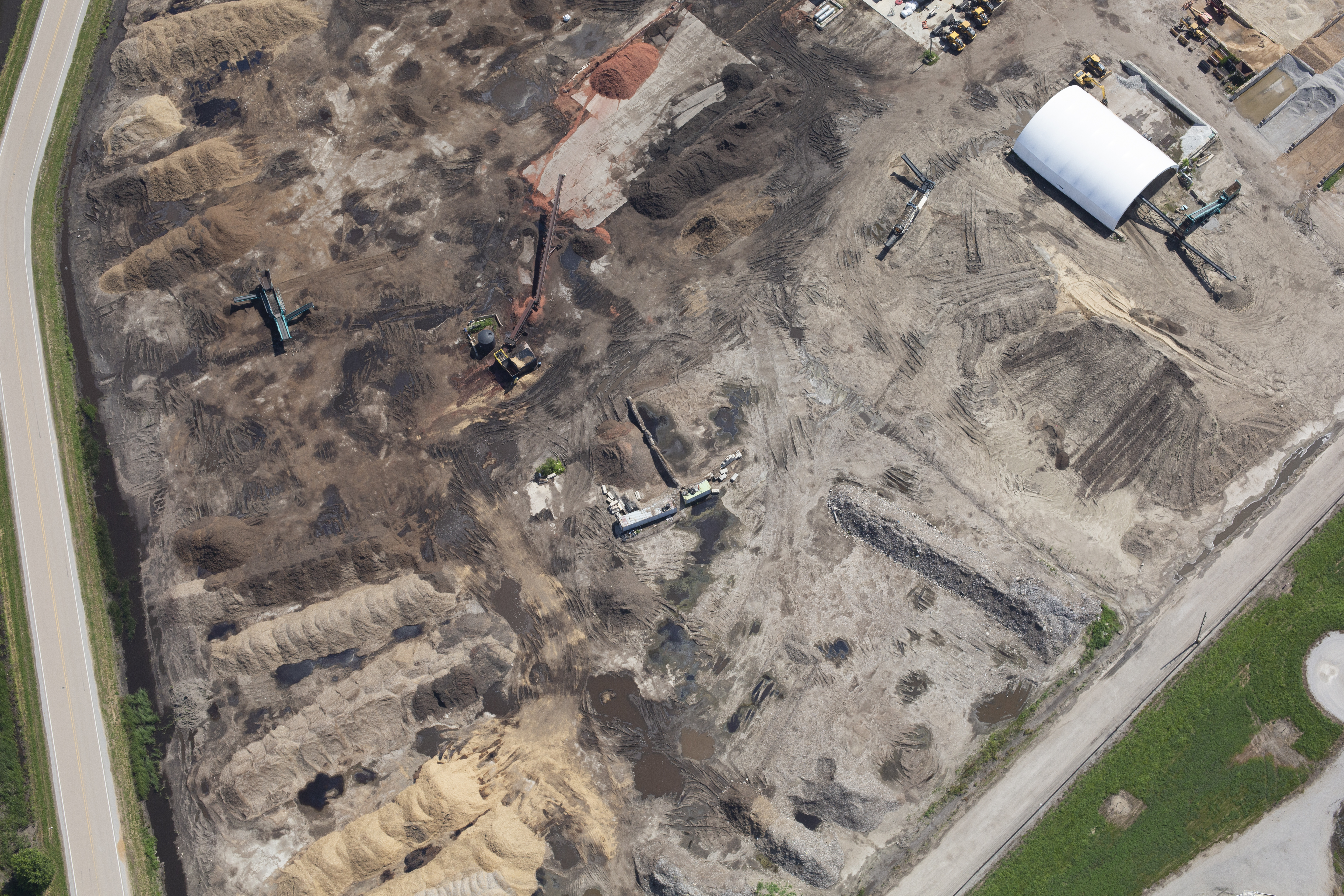
An orthomosaic is a highly detailed, geometrically corrected aerial image made from many overlapping drone photographs stitched together into one accurate map-like file. Unlike a standard aerial photo, an orthomosaic is designed to be consistent in scale and perspective, making it much more useful for measurement, documentation, and planning.
This is one of the most practical drone deliverables available for organizations that need an accurate visual overview of land, structures, or large areas.
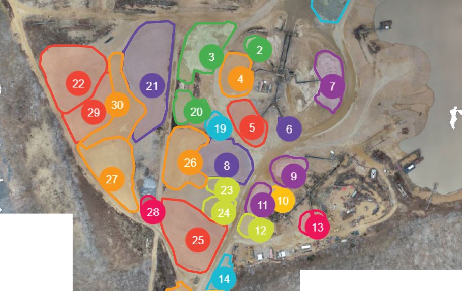
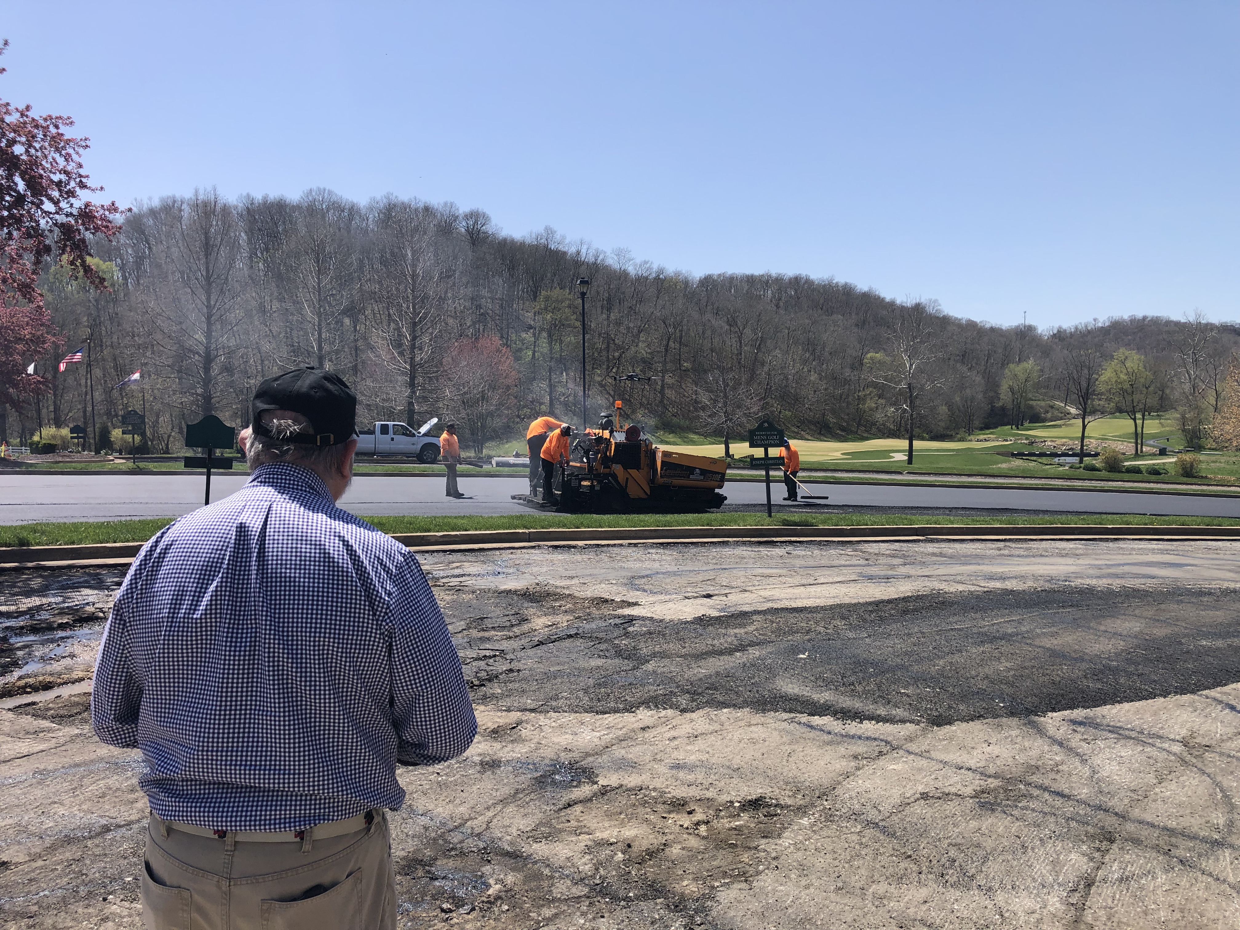
Site Documentation
Construction companies, developers, municipalities, schools, industrial facilities, and large commercial properties often need a clear top-down view of a site. Orthomosaics provide a broad, current visual record that can be used to show progress, identify changes, and maintain documentation over time.
Planning and Coordination
Because orthomosaics are more accurate than a simple aerial photograph, they are useful for planning logistics, reviewing access routes, evaluating staging areas, coordinating departments, and supporting design discussions. Teams can use them for a more informed understanding of the physical site.

Property and Land Marketing
For commercial real estate, hospitality, campus environments, industrial sites, and destination properties, orthomosaics can also support presentations and marketing. They can help prospects, investors, and stakeholders better understand the layout and scale of a property. In some situations, they are more informative than angled aerial photography because they show relationships and usable space more clearly.
Progress Tracking
Repeated orthomosaic captures over time can help organizations create a visual timeline of progress. This is useful for construction phases, land development, site changes, storm recovery, and infrastructure projects.
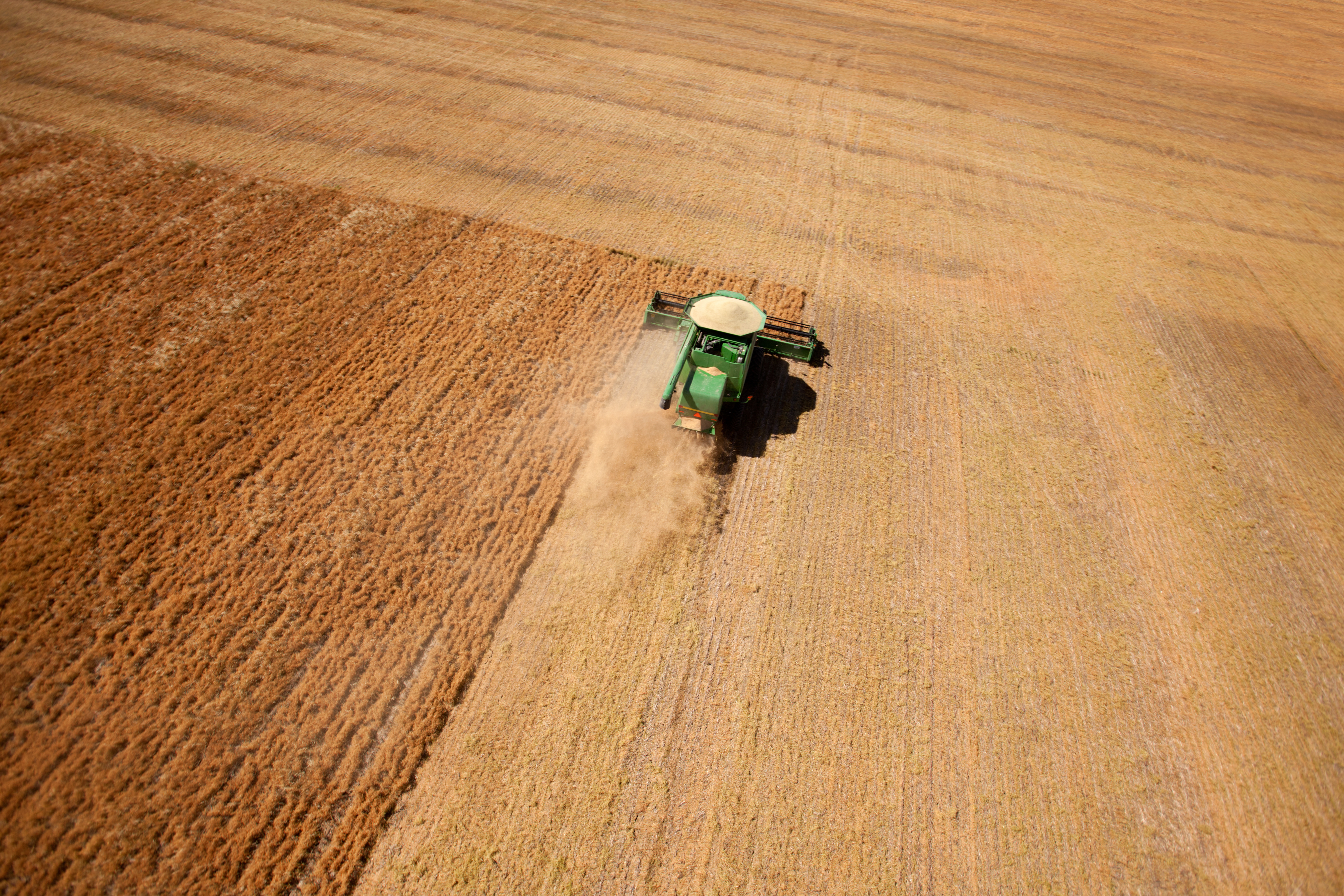
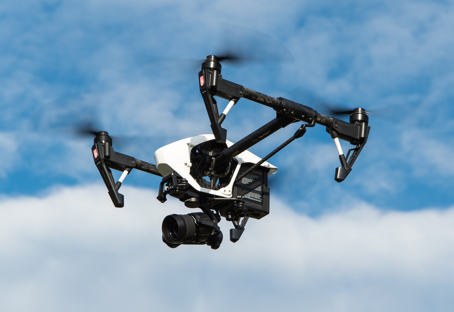
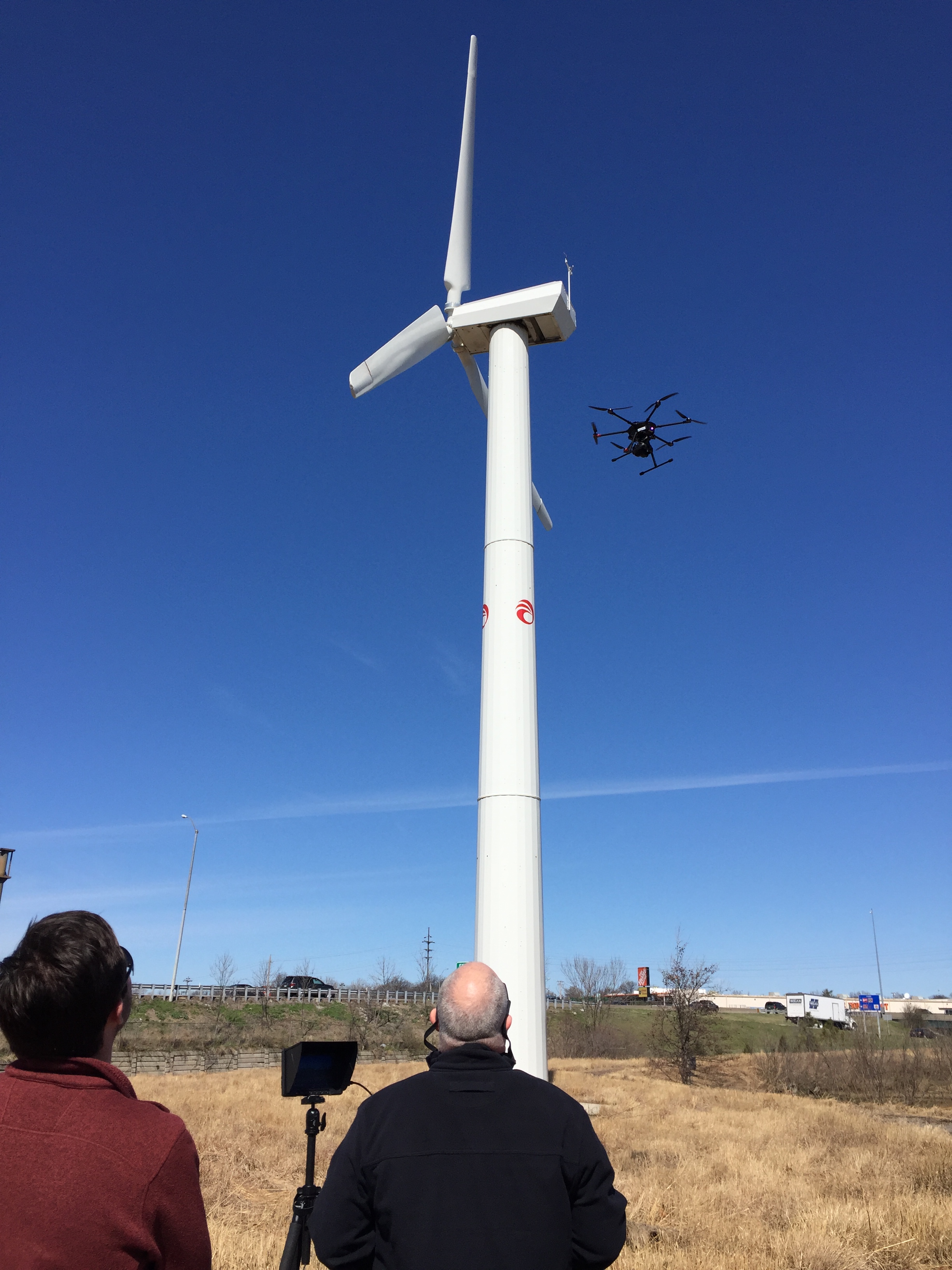
LiDAR Drone Services
LiDAR, which stands for Light Detection and Ranging, is one of the most advanced specialized drone services available. It uses laser pulses to measure distances and generate highly detailed 3D data about the ground, terrain, vegetation, and structures.
For many organizations, LiDAR becomes important when precision matters and when traditional imagery alone is not enough.
Terrain and Elevation Mapping
LiDAR can help produce accurate elevation models and terrain representations. This is especially useful for land development, engineering planning, drainage analysis, infrastructure studies, environmental projects, and other applications where ground shape matters.
Penetrating Vegetation Better Than Standard Imagery
One of LiDAR’s advantages is its ability, in many circumstances, to generate useful ground data in areas with vegetation where standard photogrammetry may be limited. That makes it valuable for wooded areas, uneven terrain, corridors, and complex sites.
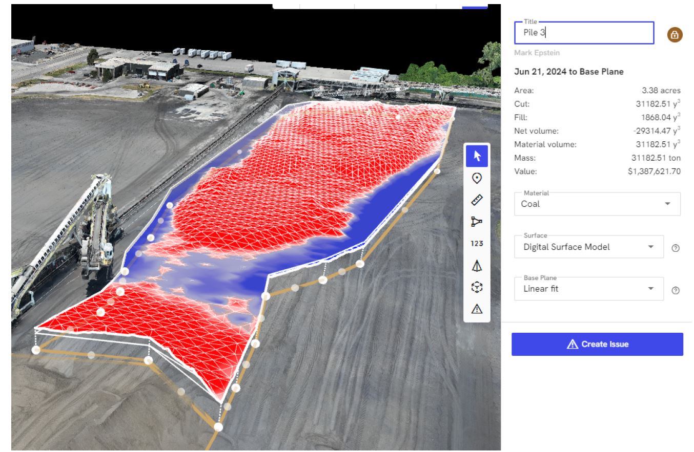
Volume and Surface Analysis
LiDAR can support measurement-intensive workflows involving earthwork, stockpiles, grading, and topographic understanding. For industries that need more than a beautiful aerial image, this level of data can be extremely valuable.
3D Modeling and Infrastructure Insight
For certain projects, LiDAR can support the creation of more sophisticated 3D models or site intelligence that aids planning, engineering, and asset management. It is a strong option when a project requires a deliverable that goes beyond visual storytelling and into measured spatial analysis.
Choosing the Right Drone Service for the Job
Not every project needs thermal, orthomosaic, or LiDAR capture. The right choice depends on the goal.
If the objective is to identify temperature anomalies, infrared thermal may be the right fit.
If the objective is to create a detailed top-down site overview for planning, documentation, or communication, an orthomosaic may be the best solution.
If the objective is high-accuracy terrain data, elevation modeling, or advanced site analysis, LiDAR may be the strongest approach.
In many cases, the most effective projects combine services. A commercial property might benefit from cinematic aerial video for marketing, thermal capture for inspection support, and orthomosaic mapping for planning. A construction or industrial client may need progress video, overhead documentation, and advanced measurement workflows. The most valuable drone strategy is often the one tailored to the real operational and communication needs of the organization.
Commercial Drone Production Is Still About Communication
Even when the deliverable is technical, the end use is often strategic communication. Aerial media is rarely just about collecting data. It is often about helping stakeholders see what matters more clearly.
Executives want concise visuals that support decisions. Marketing teams want stronger assets. Operations teams want reliable documentation. Property managers want insight into conditions. Developers want accurate site understanding. Engineers and consultants want data that helps move a project forward.
The right drone partner understands both the visual side and the practical side. That matters because the capture itself is only part of the value. Planning, execution, safety, file handling, and the usefulness of the final deliverable all affect whether the work actually helps the client.
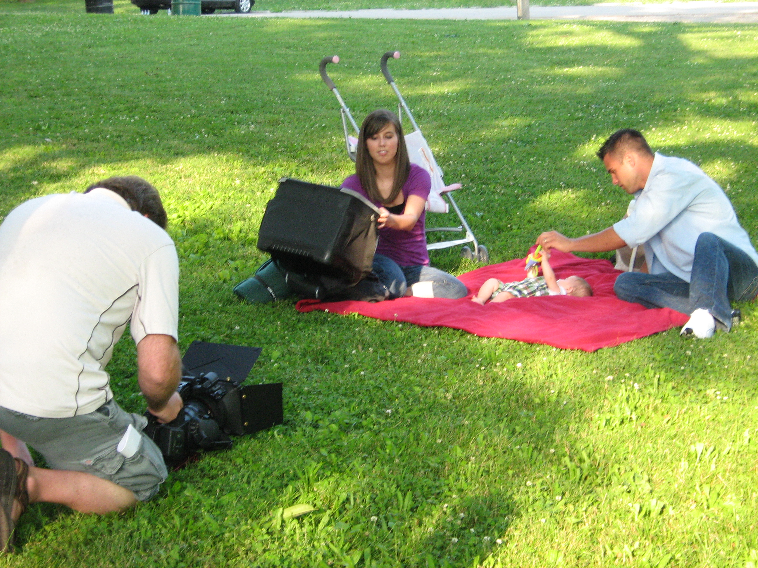
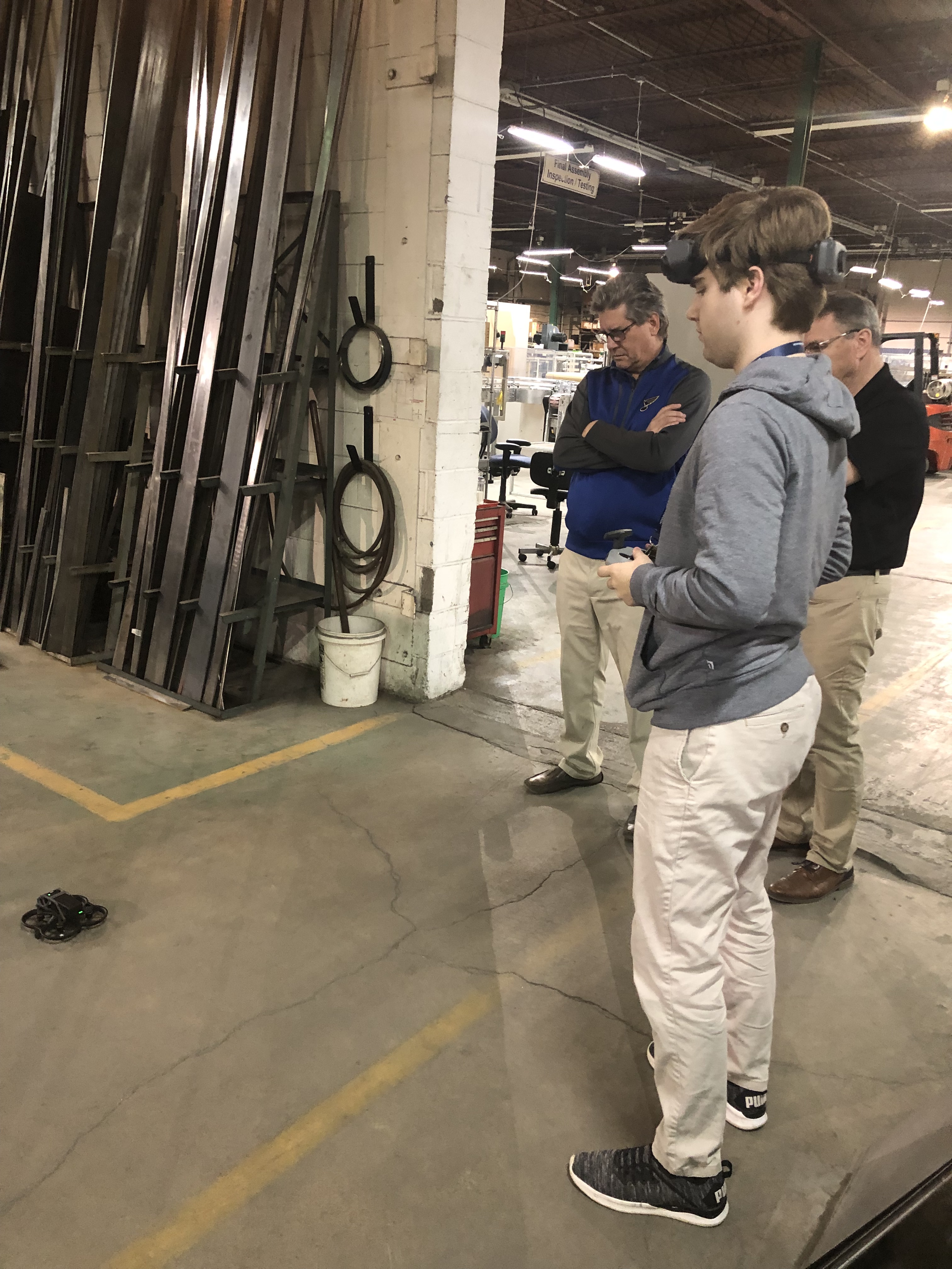
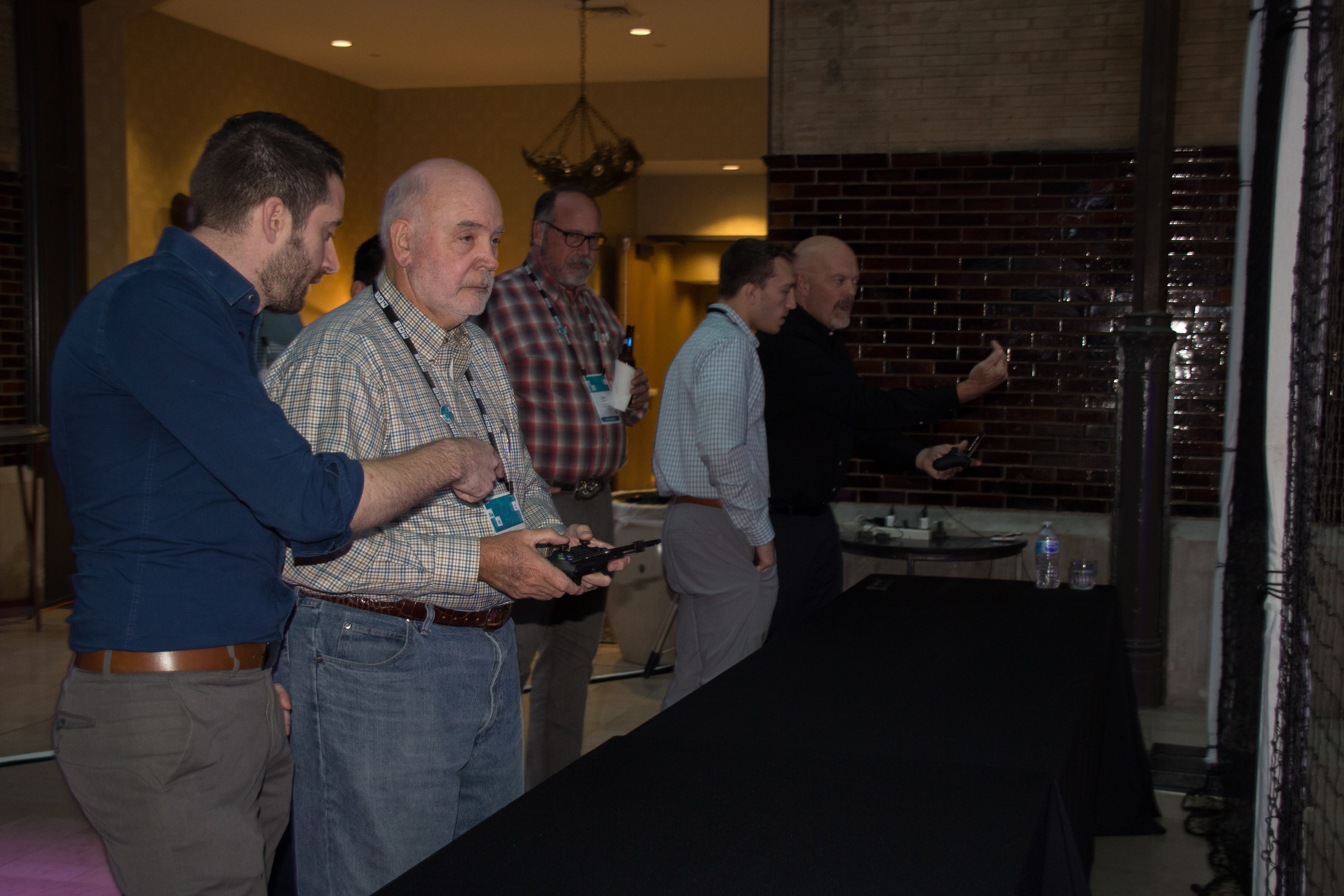
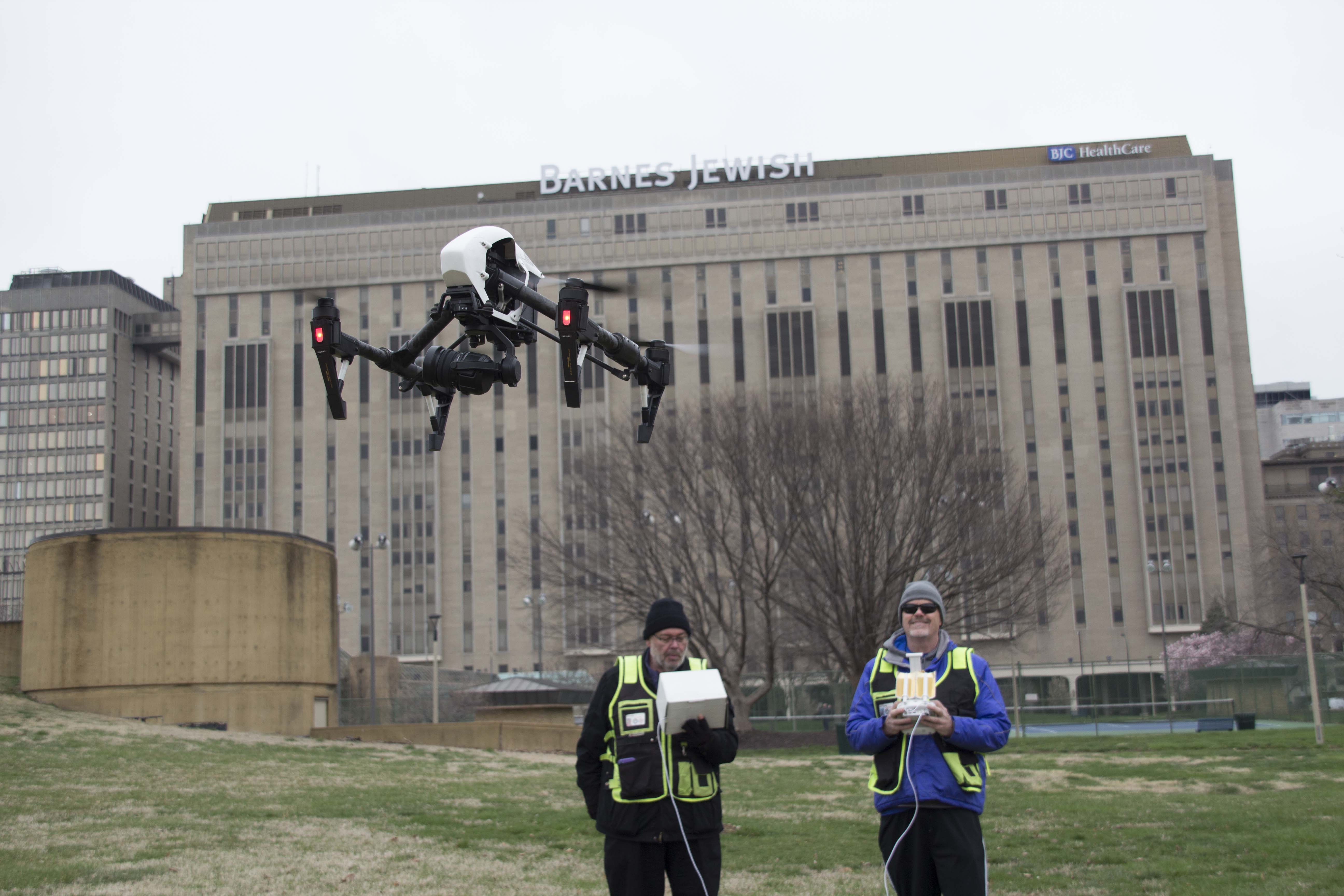
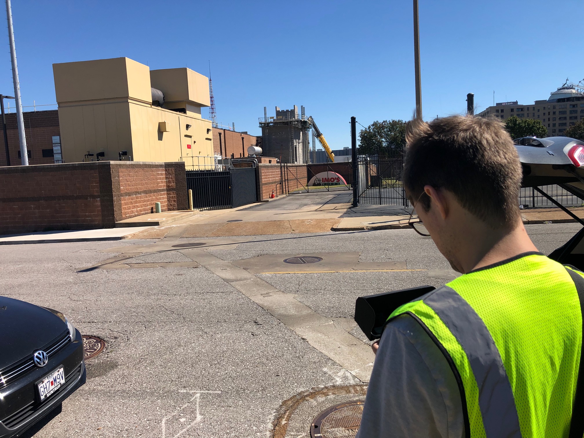
Indoor FPV and Commercial Drone Storytelling
At St Louis Video Crew, we also fly drones for commercials and operate specialized FPV drones indoors. This gives organizations a creative option that traditional camera systems often cannot match.
Indoor FPV drone footage can move through offices, production spaces, retail environments, warehouses, campuses, studios, and event areas in a smooth, immersive way. It creates motion, energy, and point-of-view storytelling that can make a commercial or branded piece more engaging. When used alongside technical drone services such as thermal, orthomosaics, or LiDAR, businesses gain both visual impact and practical insight.
That combination is powerful. It allows a company to market itself more effectively while also benefiting from drone-based documentation and analysis.
Why Experience Matters in Specialized Drone Work
Specialized drone services require more than the ability to fly. They require planning, safety awareness, understanding of environments, and the ability to capture media in a way that aligns with the client’s actual needs.
A strong drone workflow considers the subject, lighting, site conditions, flight path, legal and safety requirements, output format, and how the final files will be used. That is especially important when projects involve commercial spaces, active facilities, indoor flying, technical inspections, or mapping deliverables.
Decision makers should look for a team that understands both production quality and practical application. A technically correct flight is not enough if the final materials are difficult to use, poorly organized, or disconnected from the business objective.
Work With St Louis Video Crew for Advanced Drone Services
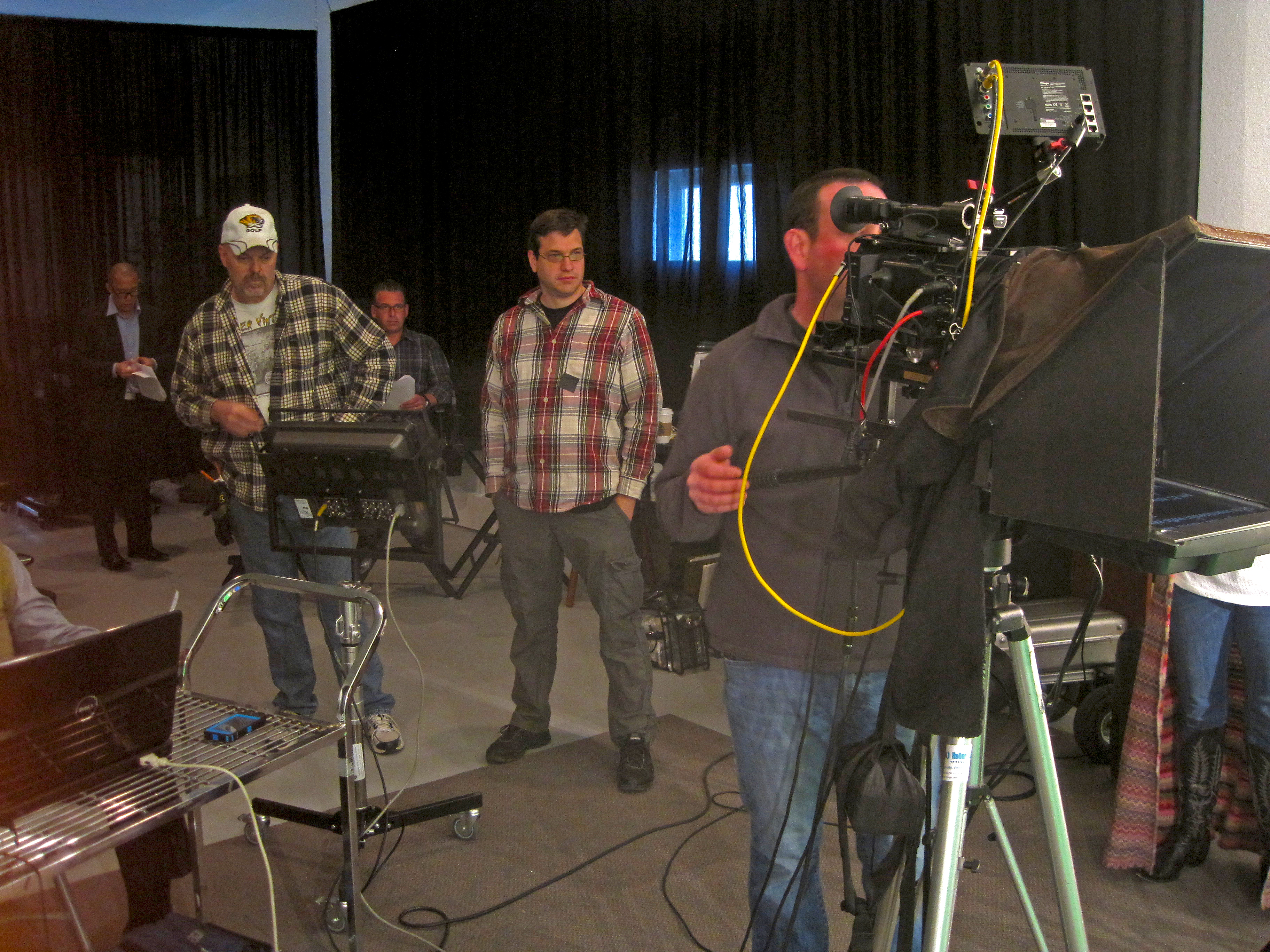
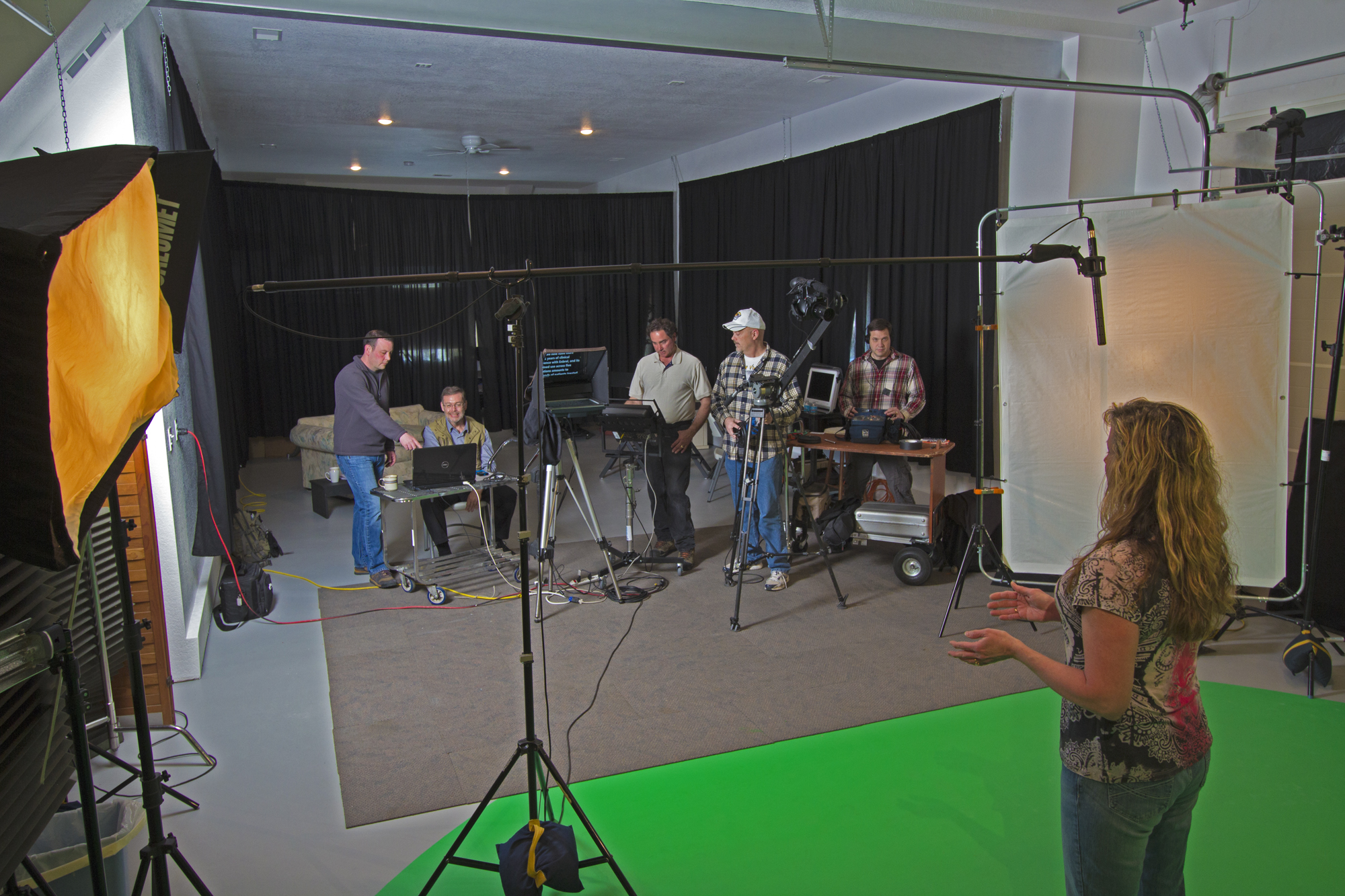
St Louis Video Crew is an experienced full-service professional commercial photography and video production company with the right equipment and creative crew service experience for successful image acquisition. We offer full-service studio and location video and photography, as well as editing, post-production, and licensed drone services. We fly drones for commercials and fly our specialized FPV drones indoors, helping clients create dynamic visuals that are difficult to achieve with conventional camera systems alone.


")