Seeing What the Eye Can’t: Commercial Building Inspections With Drone FLIR Thermal Surveys
Modern facilities teams are under pressure to do more with less—extend roof life, reduce energy consumption, document conditions for insurers, and keep people off ladders and scaffolding whenever possible. Traditional inspection methods can only take you so far. That’s where drone-based FLIR infrared thermal surveys come in.
For commercial property owners, facility managers, and marketing and communication teams, drone thermal inspections are no longer a “nice-to-have innovation.” They’re becoming a standard, data-driven way to understand the true health of your buildings—quickly, safely, and with visuals that are easy to share with leadership and stakeholders.
What Is a Drone FLIR Infrared Thermal Survey?
A drone FLIR (Forward-Looking Infrared) thermal survey combines three key technologies:
- Professional drone platforms – Stable, GPS-guided aircraft with redundant safety systems.
- Radiometric thermal cameras (FLIR) – Sensors that measure temperature differences across surfaces, down to fractions of a degree.
- High-resolution visual cameras – Standard RGB imaging to pair with thermal data for accurate interpretation.
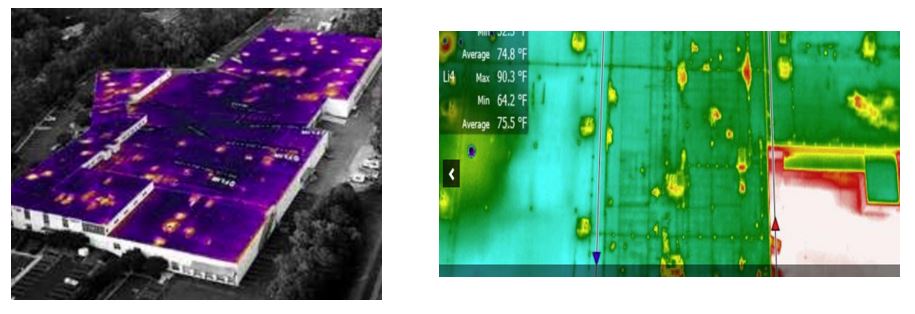
Mounted on a drone, the FLIR camera detects subtle temperature variations on roofs, walls, mechanical equipment, electrical systems, and hard-to-reach interior spaces. These temperature patterns often reveal:
- Moisture intrusion
- Insulation failures
- Air leaks and thermal bridging
- Overheated electrical components
- Plumbing, radiant floor, or hydronic system issues
- HVAC and mechanical inefficiencies
Instead of guesswork, facilities teams get a precise visual map of issues—before they become costly failures.

Why Use Drones for Commercial Building Inspections?
Compared to traditional methods—lifts, scaffolding, rope access, or manual roof walks—drone FLIR surveys offer distinct advantages:
1. Safety First
- Less time spent on roofs and elevated workspaces
- Reduced risk of falls, ladder incidents, and exposure to unsafe conditions
- Ability to inspect unstable, aging, or water-damaged roofs without stepping on them
2. Minimal Operational Disruption
- Shorter inspection windows; often completed in hours, not days
- Little to no interference with ongoing facility operations or production
- No need to shut down large areas for extended periods just to gain visual access
3. Comprehensive Coverage
- Entire roofs, façades, and large complexes can be captured in systematic flight paths
- Consistent coverage that can be repeated annually or after storms for comparison
- Both exterior and select indoor areas can be documented with specialized drones capable of safe interior flight
4. Visual, Shareable Data
- Easy-to-understand thermal images and video for leadership and non-technical stakeholders
- Before/after visuals to document repairs and improvements
- Clear evidence for insurance claims, capital budgeting, and warranty discussions
Key Use Cases for Drone Thermal Surveys on Commercial Buildings
1. Flat and Low-Slope Roof Moisture Detection
Flat commercial roofs are especially vulnerable to moisture intrusion. A drone FLIR survey can:
- Detect saturated insulation trapped beneath membrane surfaces
- Reveal hidden leaks not yet visible inside the building
- Prioritize repair areas instead of replacing the entire roof
- Provide documentation to claim warranties or negotiate with contractors
By isolating problem zones, you can extend roof life and spend capital where it has the most impact.
2. Building Envelope & Energy Loss
Thermal surveys of walls, windows, and façades help you:
- Identify thermal bridging at structural elements
- Spot poorly sealed window systems, door frames, and penetrations
- Reveal areas where insulation is missing, damaged, or improperly installed
These insights directly support energy efficiency initiatives, ESG reporting, and sustainability communications. The same visuals that inform engineering decisions can also be repurposed in internal presentations and stakeholder updates.
3. HVAC, Mechanical & Exhaust Systems
Rooftop units, condensers, ductwork, and exhaust systems all leave a thermal fingerprint. Drone FLIR inspections can:
- Highlight imbalanced heating or cooling across units
- Reveal blocked or malfunctioning components
- Help verify the effectiveness of recent maintenance or upgrades
Capturing this from the air provides a macro view of the entire mechanical layout, something that’s difficult to achieve from the ground.
4. Electrical Systems & Hot Spots
Overheated electrical components can be early indicators of:
- Overloaded circuits
- Failing connections
- Panel or bus duct problems
- Transformer and switchgear issues
While many electrical inspections are conducted from the ground or indoors, specialized drones can fly indoors in appropriate industrial settings such as warehouses, distribution centers, or large mechanical rooms. With the right safety protocols and coordination, drone FLIR imaging can augment your existing electrical maintenance program by visually pinpointing areas that demand attention.


5. Interior Inspections in Hard-to-Reach Areas
Not all critical building spaces are easy to walk into. Drone thermal inspections are especially useful for:
- High warehouse ceilings and overhead structures
- Interior roof decks above production lines or shelving
- Narrow or obstructed spaces where lifts are impractical
Indoor-capable drones, paired with thermal and visual cameras, allow you to inspect these environments without rearranging equipment or disrupting operations.
How a Professional Drone FLIR Survey Project Typically Works
Step 1: Discovery & Planning
- Review building plans, roof types, age, and known problem areas
- Define goals: leak detection, energy loss, insurance documentation, baseline condition survey, etc.
- Confirm airspace, safety considerations, and scheduling constraints
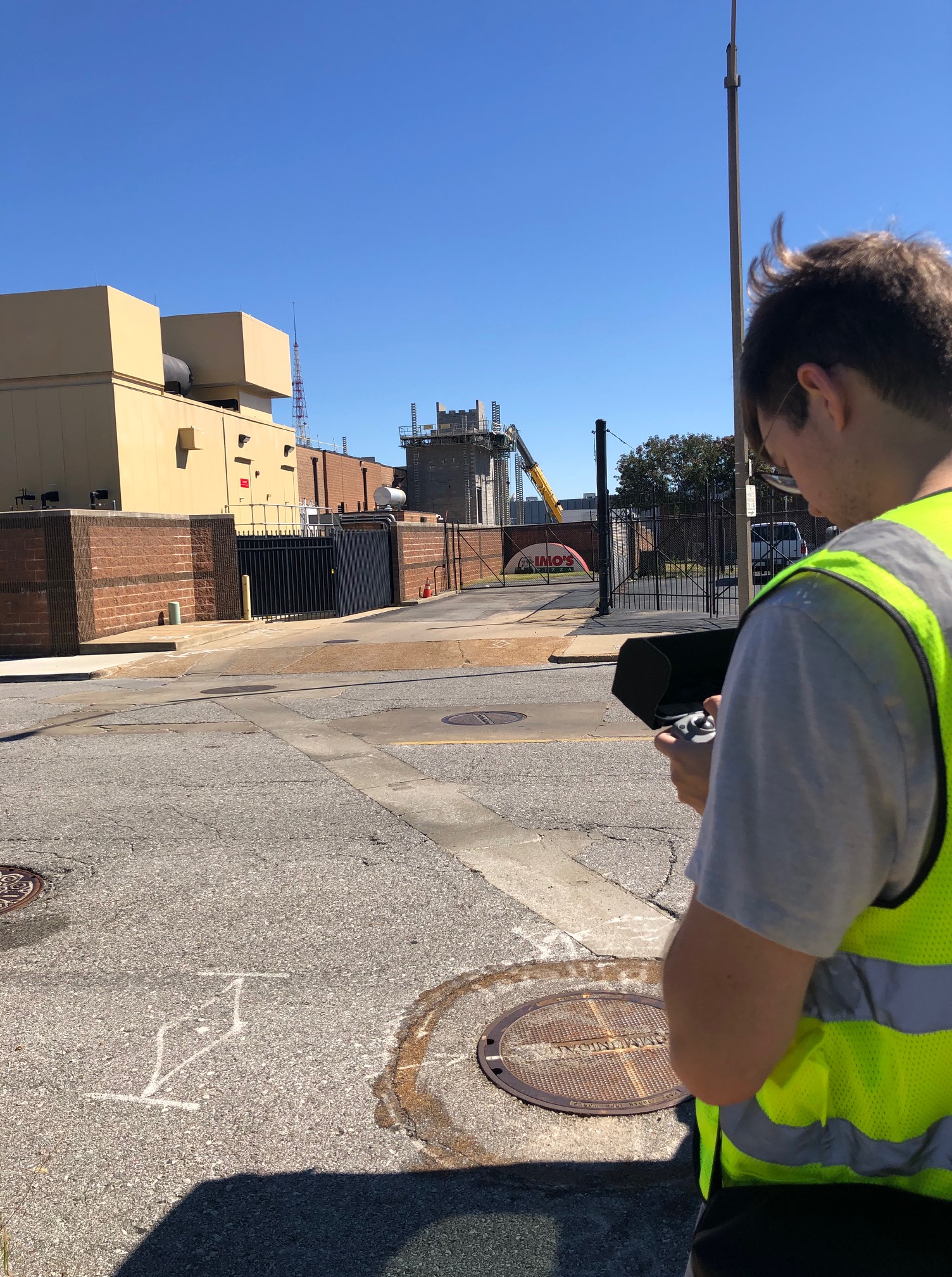
Step 2: Flight Planning & Safety
- Map flight paths for full coverage of roofs and façades
- Identify safe takeoff/landing zones and establish communication with on-site personnel
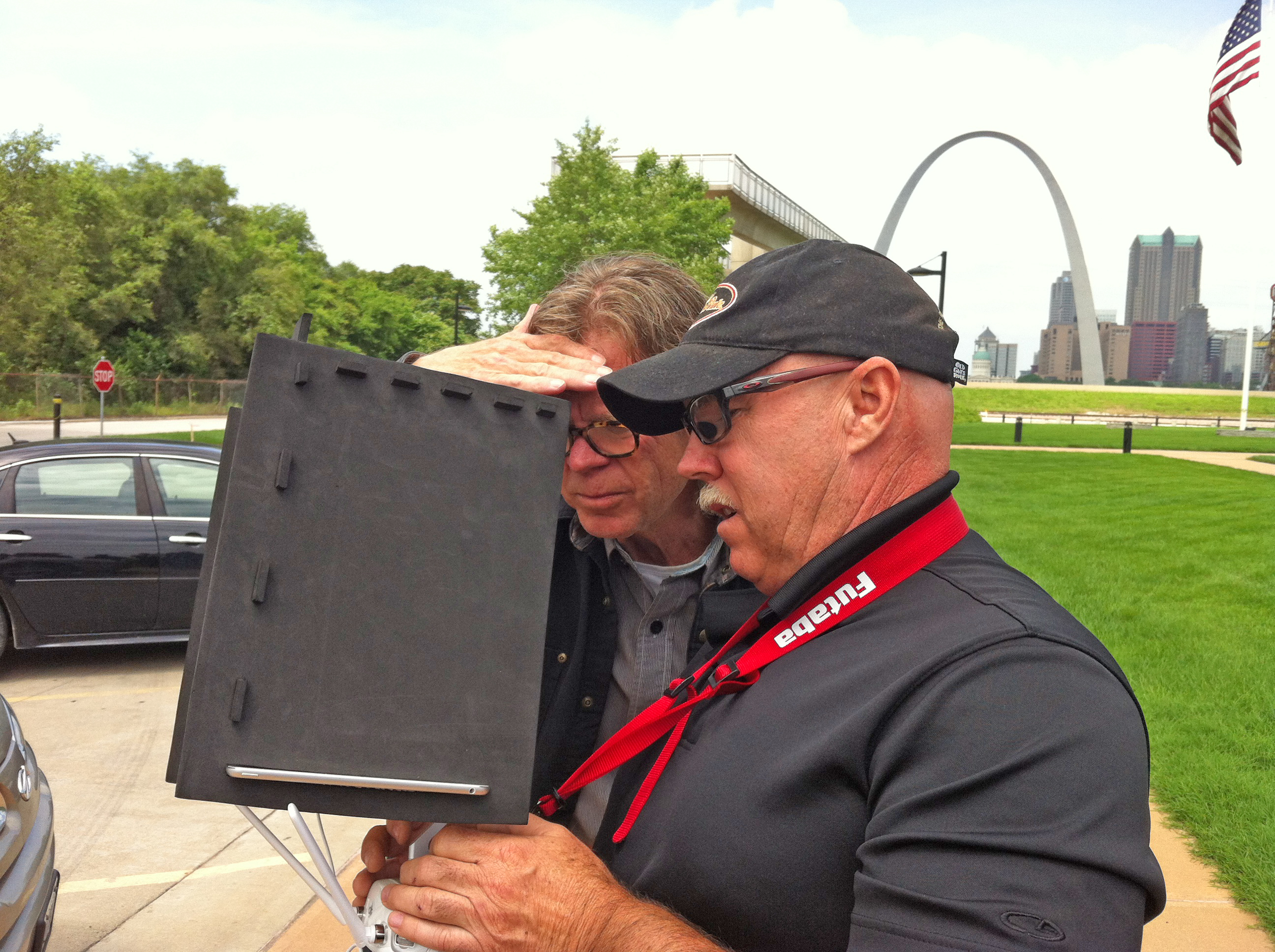
- Ensure all pilots are properly licensed and insured, with appropriate waivers where needed
Step 3: Data Capture – Exterior and Interior
- Conduct thermal and visual imaging at optimal times (often evening or early morning for maximum thermal contrast)
- Capture overlapping imagery for mapping, 3D models, or orthomosaic generation
- For indoor flights, utilize specialized drones and lighting tailored to the facility environment
Step 4: Processing, Analysis & AI-Assisted Review
- Process imagery into detailed reports, thermal maps, and annotated visuals
- Use Artificial Intelligence and advanced software to help flag anomalies, pattern irregularities, and temperature outliers
- Correlate thermal data with high-resolution RGB images for accurate interpretation
Step 5: Reporting & Actionable Recommendations
Deliverables often include:
- PDF or slide-deck reports for facility, operations, and executive teams
- Marked-up roof or site plans showing likely moisture, energy loss, or hot spots
- Still imagery and short annotated videos for internal communication or insurer documentation
- Media files formatted for easy integration into your existing asset management or BIM systems


Turning Inspection Imagery Into Strategic Communication Assets
For marketing, communications, and stakeholder engagement teams, drone thermal surveys do more than just guide maintenance.
You can repurpose the visual assets to:
- Demonstrate responsible stewardship of company facilities
- Support ESG and sustainability reporting initiatives
- Educate employees about energy-saving projects
- Highlight proactive risk management for insurers, boards, and investors
With thoughtful editing, motion graphics, and on-camera interviews, inspection footage can be woven into compelling internal videos, case studies, or presentations that clearly show how your organization invests in infrastructure health and safety.
What to Look For in a Drone FLIR Inspection Partner
When selecting a provider, decision makers should verify:
- Licensed, insured pilots experienced with commercial and industrial environments
- Radiometric-capable thermal sensors (like professional FLIR units), not consumer-grade approximations
- Experience with building systems—roofs, envelope, mechanical and electrical—not just aerial photography
- Robust post-production and reporting capabilities, including AI-assisted analysis
- The ability to coordinate with your engineering, safety, and marketing teams to deliver both technical and communication-ready assets
The right partner doesn’t just “fly the drone.” They collaborate with your team to make the data understandable and actionable.
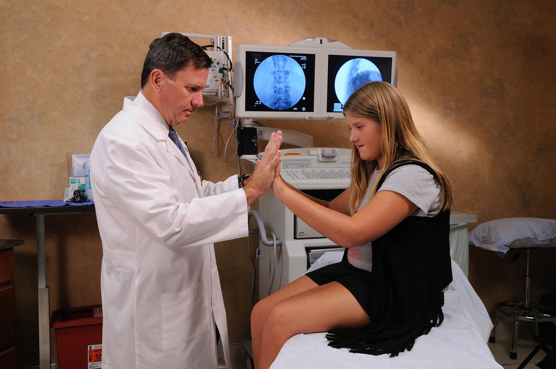
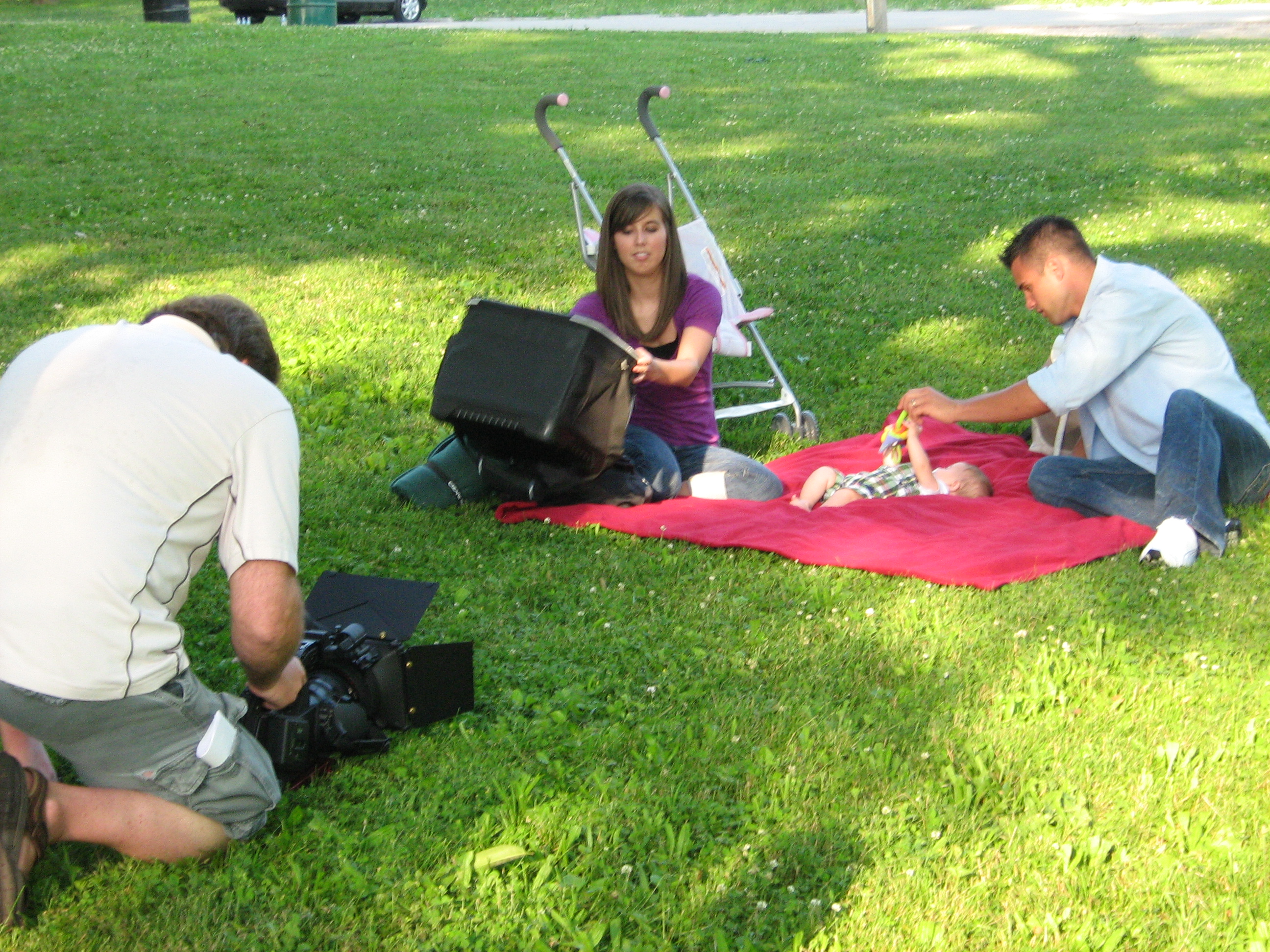
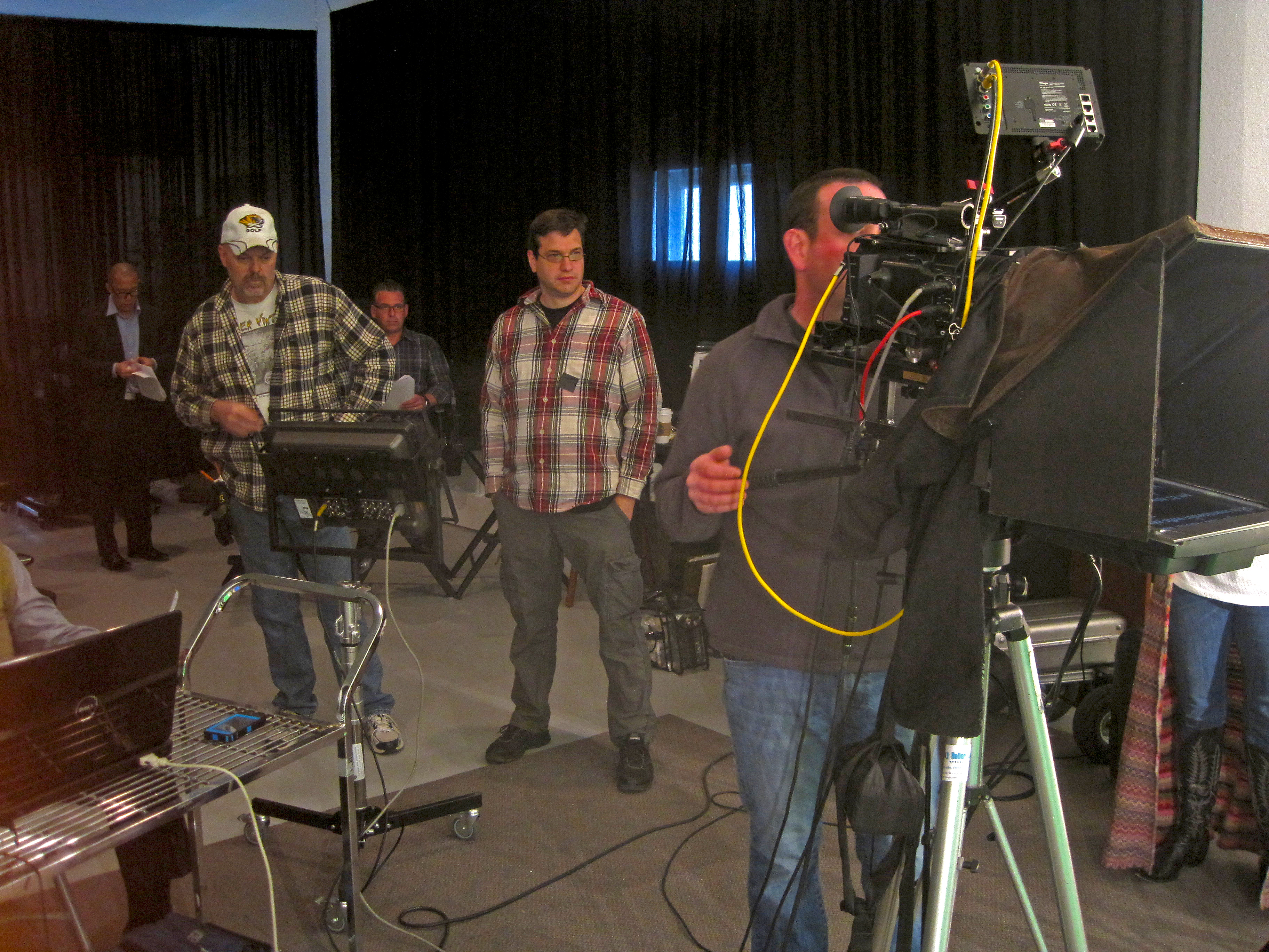
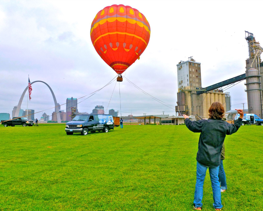
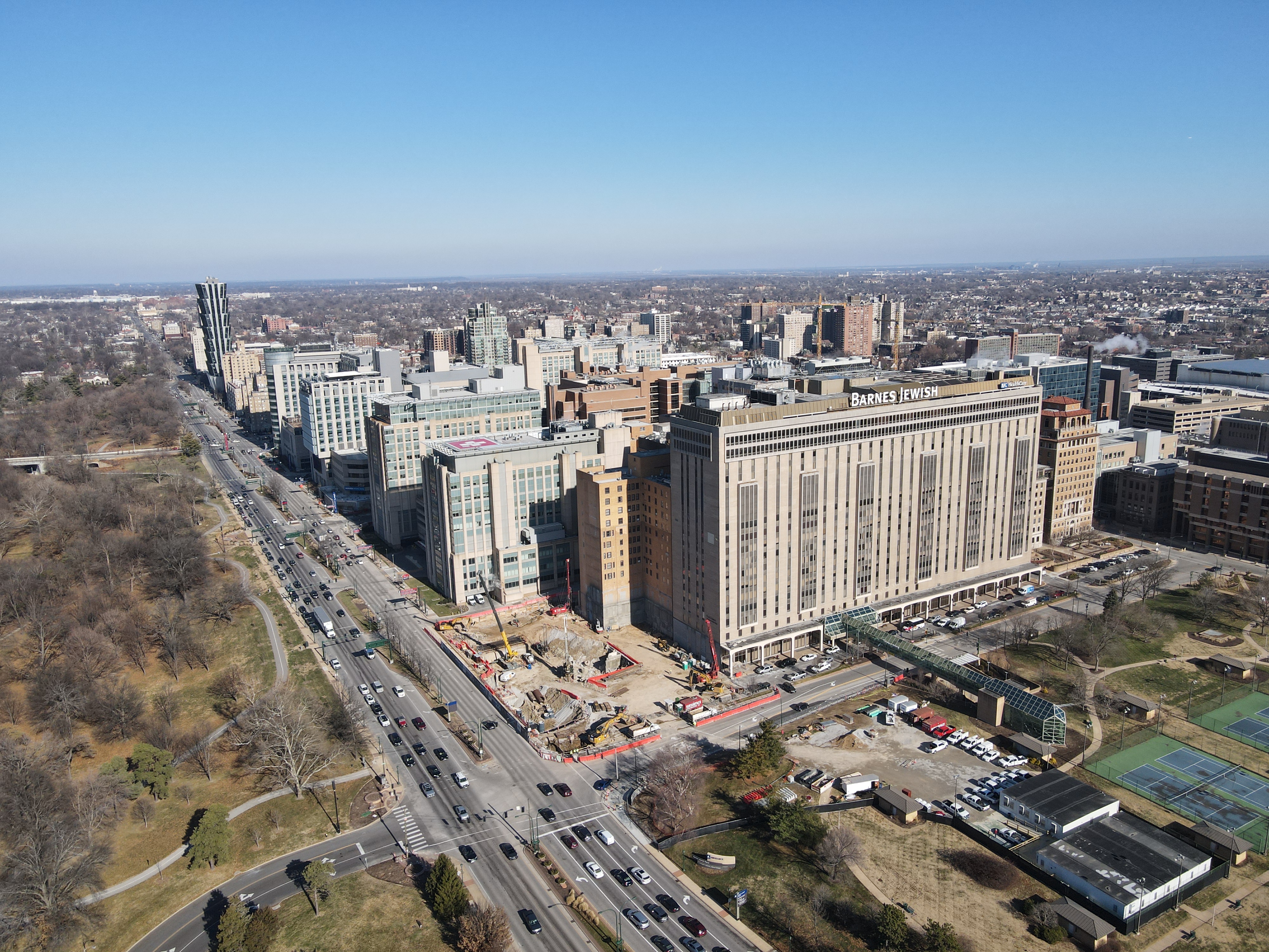
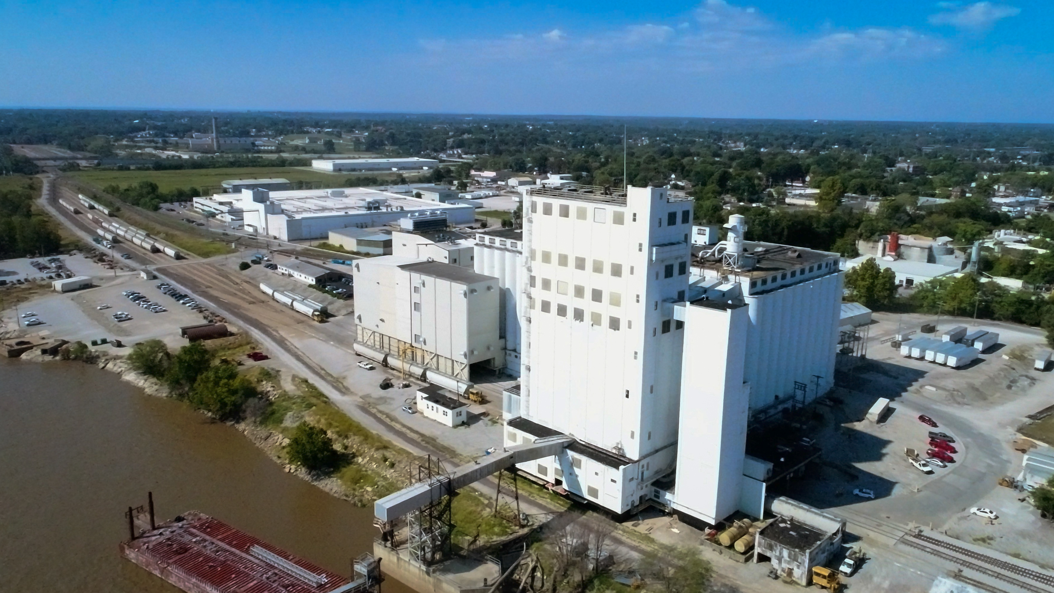
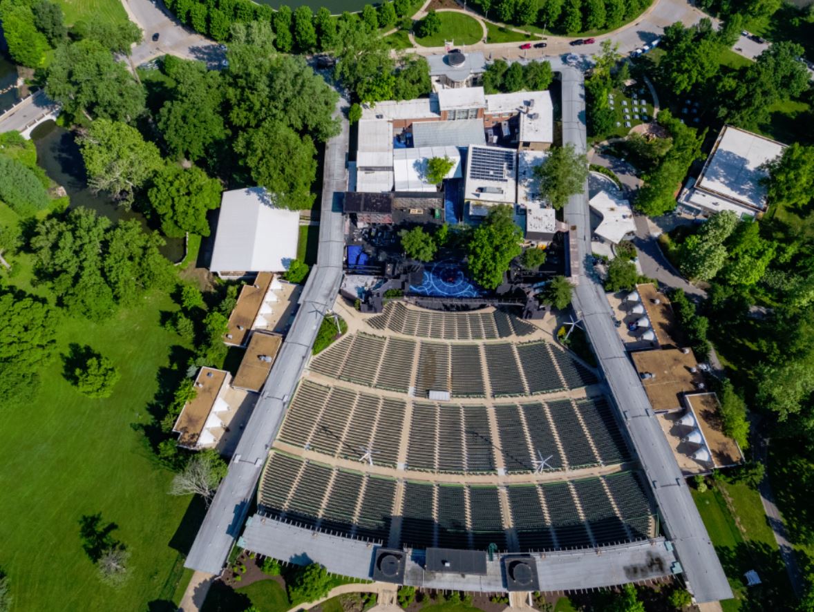
How St. Louis Video Crew Supports Commercial Drone Thermal Inspections
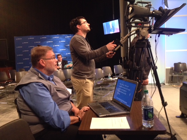
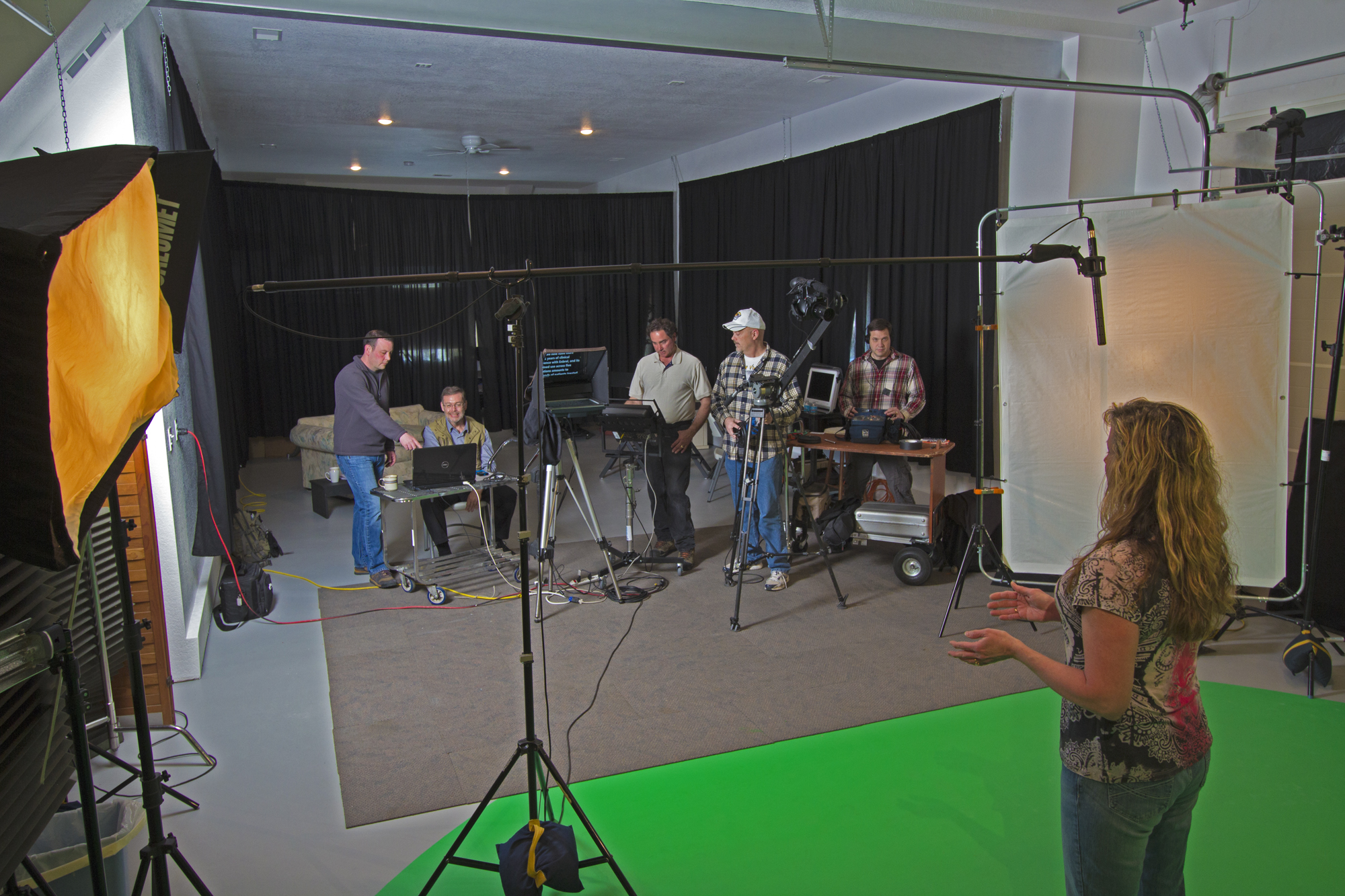
Experienced St. Louis Video Crew is a full-service professional commercial photography and video production company with the right equipment and creative crew service experience for successful image acquisition. We offer full-service studio and location video and photography, as well as editing, post-production and licensed drone pilots. St. Louis Video Crew can customize your productions for diverse types of media requirements. Repurposing your photography and video branding to gain more traction is another specialty. We are well-versed in all file types and styles of media and accompanying software. We use the latest in Artificial Intelligence for all our media services. Our private studio lighting and visual setup is perfect for small productions and interview scenes, and our studio is large enough to incorporate props to round out your set.
For commercial building owners, facility managers, marketing teams and agencies, we support every aspect of your production—from setting up a private, custom interview studio to supplying professional sound and camera operators, as well as providing the right equipment—ensuring your next video production is seamless and successful. We can fly our specialized drones indoors where appropriate, capturing both thermal and visual data in areas that are difficult or unsafe to reach. As a full-service video and photography production corporation since 1982, St. Louis Video Crew has worked with many businesses, marketing firms and creative agencies in the St. Louis area for their marketing photography and video, including advanced drone FLIR infrared thermal surveys that turn technical inspections into clear, compelling visuals for decision makers.
314-913-5626 stlouisvideocrew@gmail.com
- Posted in: st louis video crews
- Tagged: 3-D Imaging, Aerial inspection St. Louis, Aerial mapping St. Louis, Aerial photography St. Louis, Aerial survey St. Louis, Aerial videography St. Louis, ai, Construction drone photography St. Louis, drone companies, drone live events, Drone photography St. Louis, Drone services St. Louis, Drone videography St. Louis, drones, FLIR Thermal, Industrial drone services St. Louis, Infrared Drone, Orthomosaic drone, photography, Real estate drone photography St. Louis, real-estate, St Louis Airplane Aerial Photographer, St. Louis aerial imaging, St. Louis drones, technology, Thermography Drone, Utility inspection drone services St. Louis, Volumetric Drone


")